Walk the complete Norfolk Coast Path
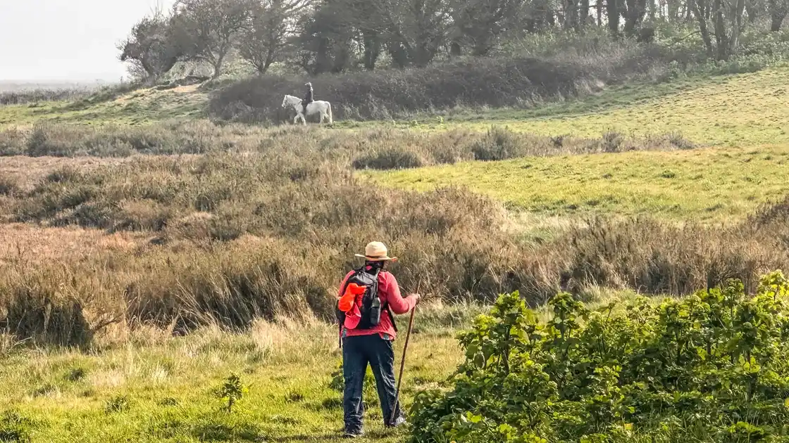
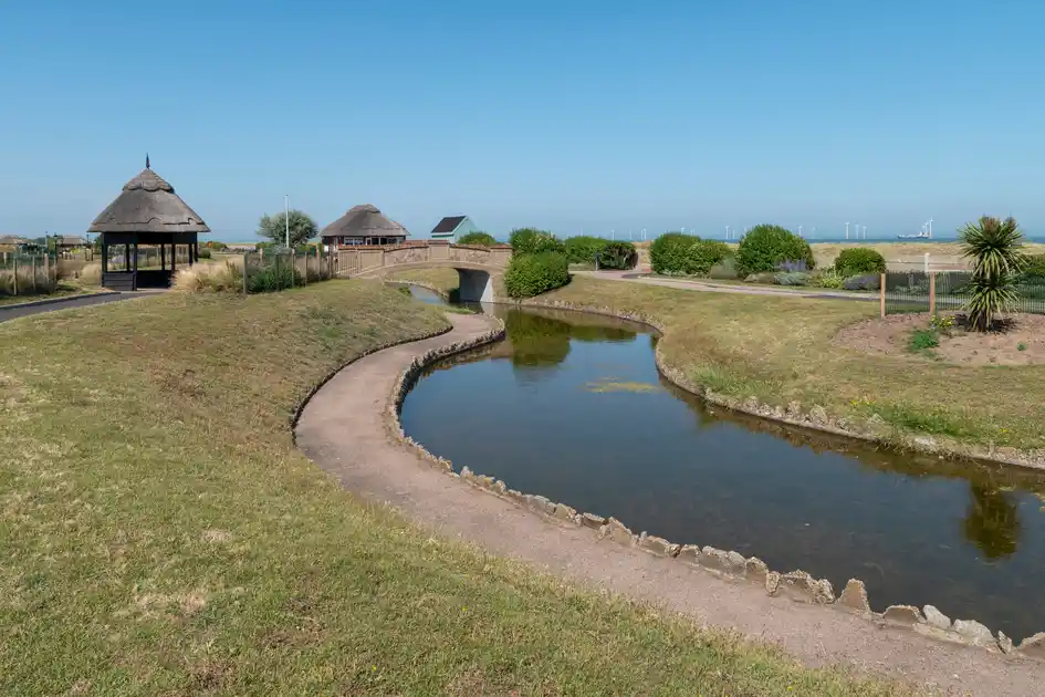
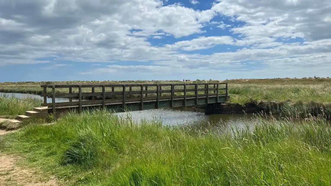
The Norfolk Coast Path runs for 84 miles / 135 km from Hunstanton to Hopton-on-Sea, following the changing coastline of north and east Norfolk through sandy beaches, dunes, saltmarshes, nature reserves, historic fishing villages and seaside towns. This eight-day self-guided journey follows the complete route, with suggested overnight accommodation at each stage and practical information to help walkers plan independently.
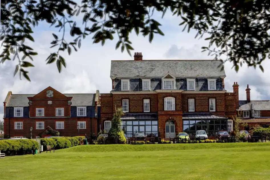
The journey begins in Hunstanton, overlooking The Wash, where the distinctive red and white cliffs mark the western end of the Norfolk Coast Path. After exploring the seafront, walkers can continue to Old Hunstanton for their first overnight stay at Le Strange Arms Hotel, situated beside the beach and directly on the path. The following morning, the route heads east through Holme Dunes National Nature Reserve and Holme-next-the-Sea, where the Peddars Way meets the coast, before passing the saltmarshes and coastal landscapes around Thornham and Titchwell.
The first walking day finishes in Brancaster, with a suggested overnight stay at The Ship, a traditional coastal inn close to the Norfolk Coast Path. From Brancaster, the route continues through Brancaster Staithe, Burnham Deepdale and Burnham Overy Staithe, passing tidal creeks, grazing marshes and views towards Scolt Head Island National Nature Reserve. Beyond Burnham Overy Staithe, the path enters the landscapes of Holkham National Nature Reserve, with its extensive sandy beaches, dunes and pine woodland, before reaching Wells-next-the-Sea. Here, The Globe Inn, overlooking The Buttlands, provides the suggested second overnight stop.
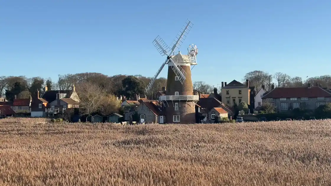
Continuing east from Wells-next-the-Sea, the third walking day follows the saltmarshes through Stiffkey, Morston and Blakeney, where tidal channels and open coastal landscapes form part of the protected environment around Blakeney Point National Nature Reserve. The route reaches Cley-next-the-Sea, known for its historic windmill, nature reserve and extensive reedbeds. The suggested overnight stay is Cley Windmill, a distinctive guest house overlooking the coastal marshes.
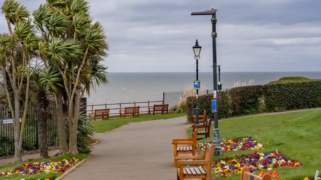
Beyond Cley, the Norfolk Coast Path passes Salthouse and Weybourne, where the open saltmarshes gradually give way to shingle beaches, rising cliffs and woodland. The route continues through Sheringham, with its traditional seafront and nearby Sheringham Park, before following the cliffs towards Cromer. The fourth overnight stop is The Red Lion Hotel, overlooking Cromer's seafront and within easy reach of Cromer Pier, the beach and the town centre.
The fifth walking day is a shorter stage from Cromer to Mundesley, passing Overstrand and following the low cliffs and beaches of the eastern Norfolk coast. This section offers extensive views across the North Sea and passes quieter coastal settlements before reaching Mundesley, where The Ship Inn provides the suggested overnight accommodation close to the beach and Norfolk Coast Path.
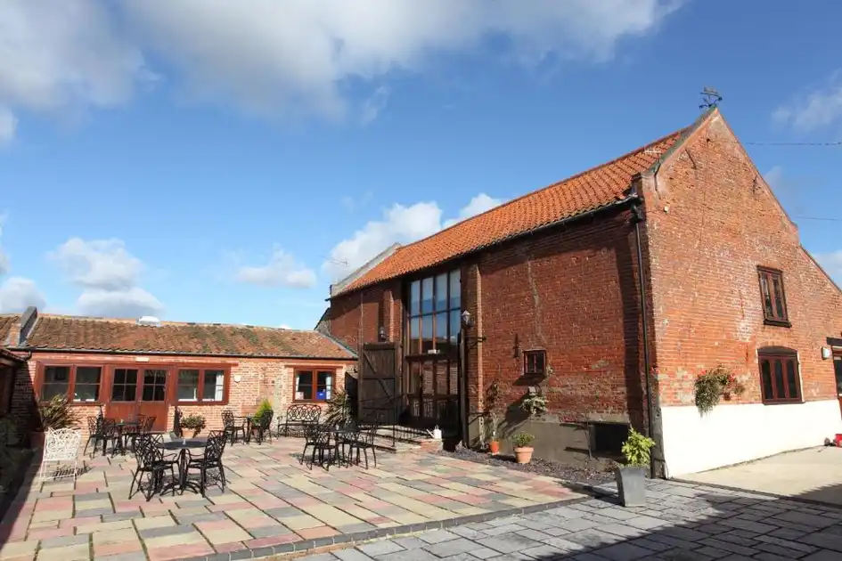
South of Mundesley, the coastline becomes increasingly exposed to the North Sea. The sixth walking day passes Bacton and Happisburgh, where the distinctive red and white Happisburgh Lighthouse stands above a coastline shaped by erosion and coastal defences. Continuing towards Sea Palling, the route reaches wide sandy beaches and a series of offshore reefs. With limited traditional guest accommodation immediately beside this section of the path, the itinerary suggests staying at Dairy Barns, Hickling, approximately 1.6 miles / 2.6 km inland from Sea Palling. Walkers can make this additional connection on foot or arrange their own transport.
Returning to Sea Palling, the seventh walking day continues south through the coastal landscapes around Horsey, with its extensive beaches and nearby freshwater broads, before reaching Winterton-on-Sea and Winterton Dunes National Nature Reserve. The dunes support a distinctive landscape of dune heathland, grassland and sandy paths. Beyond Winterton, the route continues through Hemsby towards Caister-on-Sea, where Old Hall Hotel provides the suggested overnight stay before the final walking day.
The eighth and final stage follows the coast from Caister-on-Sea through Great Yarmouth, passing its long sandy beach and traditional seafront, before continuing around the mouth of the River Yare towards Gorleston-on-Sea. From Gorleston, the Norfolk Coast Path follows the southern coastline to Hopton-on-Sea, completing the 84-mile journey. Walkers can return to Great Yarmouth for onward rail connections or choose an additional overnight stay at Hotel Ocean, situated on the town's seafront.
This suggested eight-day itinerary combines the complete Norfolk Coast Path with selected places to stay along the route. Walking distances, overnight arrangements and transport connections can be adapted to individual preferences, with the accommodation recommendations and practical Guides providing a starting point for planning the journey independently.
At a Glance
Distance: 84 miles / 135 km
Walking Days: 8
Suggested Nights: 8 + optional final night
Difficulty: Easy-going to Moderate
Start: Hunstanton
Finish: Hopton-on-Sea
Best Time: Spring to Autumn
Walk • Stay • Explore
Walk from Hunstanton to Hopton-on-Sea. Stay in coastal villages, seaside towns and countryside accommodation along the route. Explore beaches, saltmarshes, nature reserves, cliffs and dunes across the Norfolk Coast.
Check availability
Select your dates to check current availability and prices.