
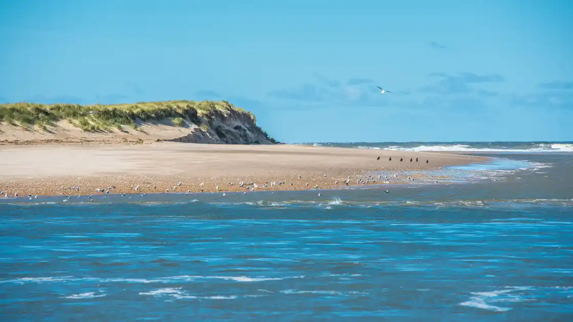
Dunes, saltmarsh and tidal landscapes
Scolt Head Island National Nature Reserve lies off the north Norfolk coast within the Norfolk Coast National Landscape. The barrier island stretches between the coastal landscapes around Brancaster and Burnham Overy, with dunes, shingle ridges, saltmarsh and tidal creeks creating a landscape continually shaped by the North Sea.
The reserve supports a variety of coastal plants and wildlife across habitats ranging from exposed shingle and dunes to sheltered saltmarsh. Its separation from the mainland and changing tidal environment give Scolt Head Island a particularly wild and undeveloped character within the wider Norfolk coast.
The Norfolk Coast Path follows the mainland through the landscape opposite the island, connecting Brancaster Staithe and Burnham Deepdale with Burnham Overy Staithe and the coast farther east. Scolt Head Island itself lies offshore from the trail, forming a prominent part of the coastal landscape encountered while walking this section of the route.
Together with the surrounding saltmarshes, beaches and tidal channels, Scolt Head Island forms part of a wider network of protected habitats along the Norfolk Coast. To the east, the coastal landscape continues towards Holkham, while to the west it connects with Brancaster and the nature reserves around Titchwell.
Overview
Type: National Nature Reserve
County: Norfolk
Region: East of England
National Landscape: Norfolk Coast National Landscape
Landscape: Barrier island, dunes, shingle, saltmarsh and tidal creeks
Key Trail: Norfolk Coast Path
Best For: Coastal landscapes, wildlife, dunes, saltmarsh and birdwatching
Check availability
Select your dates to check current availability and prices.
.webp)