
Norfolk Coast Path
Beaches, saltmarshes, coastal villages, and a journey along the changing edge of Norfolk.
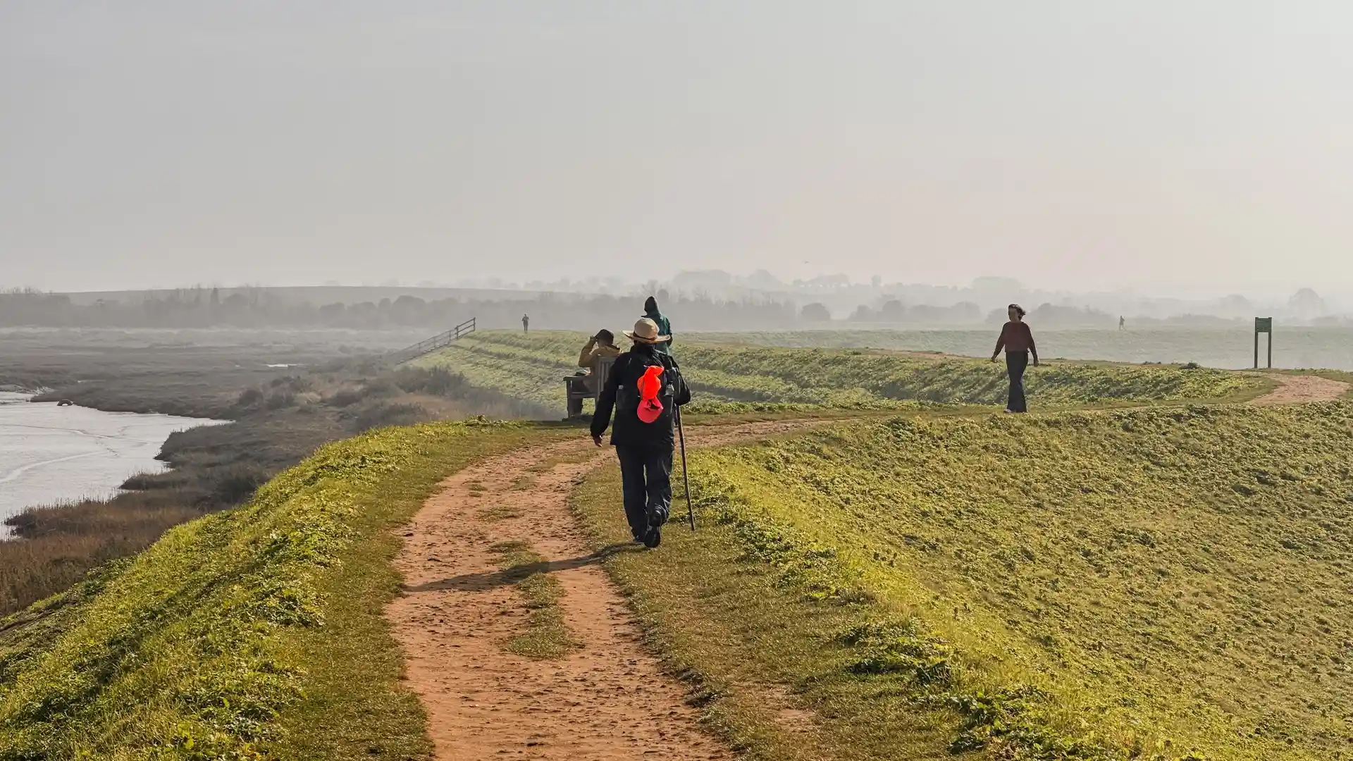
The Norfolk Coast Path is a long-distance route following the Norfolk coastline from Hunstanton to Hopton-on-Sea. Passing through the Norfolk Coast National Landscape, the trail links beaches, dunes, saltmarshes, nature reserves, fishing villages, and traditional seaside towns, offering a continuous journey along one of England's most distinctive coastlines.
As a self-guided journey, the route connects places such as Holme-next-the-Sea, Wells-next-the-Sea, Blakeney, Cromer, and Great Yarmouth while providing access to some of Norfolk's most important coastal landscapes. At Holme-next-the-Sea, the trail joins the Peddars Way, creating a continuous route from Knettishall Heath through Breckland and onto the North Norfolk coast.
With generally gentle terrain, clear waymarking, and a wide choice of places to stay along the route, the Norfolk Coast Path offers an accessible long-distance trail shaped by changing tides, open horizons, wildlife-rich landscapes, and long-established coastal communities.
Overview
Distance 84 miles / 135 km
Duration 6–8 days
Difficulty Easy-going
Start Hunstanton, Norfolk
Finish Hopton-on-Sea, Norfolk
Terrain Coastal paths, beaches, dunes, saltmarshes, low cliffs, villages, and quiet lanes
Map Overview
