
Peddars Way
Ancient routeways, open landscapes, and a journey from the forests of Breckland to the Norfolk coast.
The Peddars Way is a long-distance route through the landscapes of Norfolk, beginning at Knettishall Heath and ending at Holme-next-the-Sea, where it connects with the Norfolk Coast Path. Following the line of an ancient Roman road, the trail passes through heathland, woodland, open countryside, and historic villages before reaching the dunes, saltmarshes, and shoreline of North Norfolk.
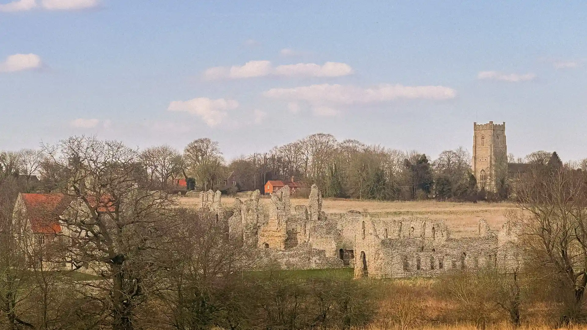
As a self-guided journey, the route links places such as Great Cressingham, Castle Acre, and Great Massingham, offering opportunities to explore Norfolk at a steady pace. With gentle terrain, clear waymarking, and a range of places to stay along the route, the Peddars Way provides one of England's most accessible long-distance trails and a natural gateway to the wider Norfolk Coast Path.
Overview
Distance 46 miles / 74 km
Duration 3–5 days
Difficulty Easy-going
Start Knettishall Heath
Finish Holme-next-the-Sea
Terrain Heathland, woodland paths, countryside tracks, historic villages, and coastal landscapes
Map Overview
