
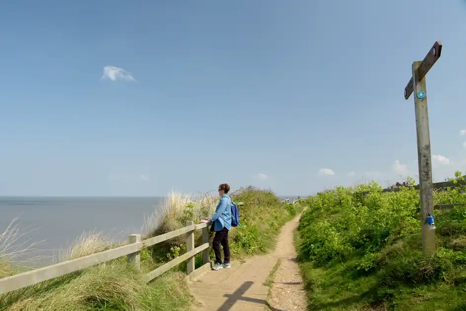
Walk the King Charles III England Coast Path through the East of England
The King Charles III England Coast Path follows the coastline of East of England through Essex, Suffolk and Norfolk, connecting estuaries, beaches, saltmarshes, nature reserves, coastal towns and villages. Rather than forming a single continuous walking journey in every area, the route provides a framework for exploring the varied coastline of the East of England on foot.
Beginning on the Essex Coast, the route follows a landscape shaped by tidal rivers, creeks, marshes and broad estuaries. Coastal paths connect settlements and nature reserves around the Thames Estuary and Essex coast before continuing north towards the Stour and the Suffolk border.
Along the Suffolk Coast the path passes through a mixture of estuary landscapes, heathland, shingle beaches and coastal settlements. Around Felixstowe, the route meets the southern end of the Suffolk Coast Path, before continuing through the Suffolk & Essex Coast & Heaths National Landscape towards places including Aldeburgh, Dunwich and Southwold.
Much of this coastline is characterised by low-lying landscapes and nature reserves, with the sea, rivers and wetlands shaping both the route and the settlements along it. The coast around Orford Ness, Aldeburgh and Dunwich is particularly distinctive, combining shingle, heathland, marshes and long stretches of open shoreline.
North of Southwold, the route continues towards Lowestoft and the Norfolk border. Around Great Yarmouth it connects with the Norfolk Coast Path, which follows the Norfolk Coast north and west through coastal villages, beaches, dunes, saltmarshes and nature reserves.
The Norfolk section passes through places including Winterton-on-Sea, Happisburgh, Cromer, Sheringham, Cley-next-the-Sea, Wells-next-the-Sea, Brancaster and Hunstanton. Much of the north Norfolk Coast lies within the Norfolk Coast National Landscape, with extensive areas of saltmarsh, dunes, beaches and internationally important wildlife habitat.
This part of the King Charles III England Coast Path also connects with several of the East of England's established long-distance trails. The Peddars Way reaches the coast at Holme-next-the-Sea, while the Norfolk Coast Path and Suffolk Coast Path provide established walking routes through substantial parts of the region.
Across the East of England, coastal towns and villages provide numerous bases for shorter walks, walking breaks and stays beside the coast. Rather than walking the entire regional section, the route can be used to explore individual stretches of the Essex, Suffolk and Norfolk coasts, linking accommodation with nearby trails, nature reserves, beaches and coastal landscapes.
Route status
The King Charles III England Coast Path is still being established in parts of the East of England. Some stretches are established and open, while others remain at different stages of development. Walkers should check the latest official route information before setting out, particularly where the mapped route contains gaps or where access arrangements may have changed.
Overview
Mapped distance: 382 miles / 616 km
Typical duration: Best explored as individual stretches and multi-day walks
Difficulty: Easy-going to Moderate
Region: East of England
Counties: Essex, Suffolk and Norfolk
Terrain: Coastal paths, beaches, shingle, dunes, saltmarshes, estuary paths, nature reserves, farmland, promenades and coastal settlements
Route status: Some sections are not yet fully open
Check availability
Select your dates to check current availability and prices.