

Walk the Norfolk Coast Path
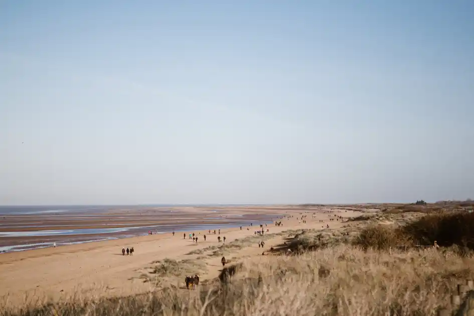
The Norfolk Coast Path is an 84-mile / 135 km long-distance trail running from Hunstanton to Hopton-on-Sea, following the Norfolk Coast from The Wash to the North Sea. The trail passes through beaches, dunes, saltmarshes, nature reserves, fishing villages and seaside towns as it follows the changing coastline of Norfolk.
Beginning at Hunstanton, the route heads east through the Norfolk Coast National Landscape, connecting places including Old Hunstanton, Holme-next-the-Sea, Brancaster, Wells-next-the-Sea, Cley-next-the-Sea, Sheringham and Cromer.
Beyond Cromer, the character of the coast changes again as the trail continues east through Mundesley, Happisburgh, Winterton-on-Sea and Great Yarmouth before reaching Hopton-on-Sea.
Much of the route follows coastal paths, beaches, sea walls, dunes, promenades and quiet lanes. The terrain is generally gentle, although sand, exposed coastal sections and consecutive walking days can make parts of the route more demanding than the relatively flat landscape suggests.
At Holme-next-the-Sea, the Norfolk Coast Path connects with the Peddars Way, linking the coastal trail with the ancient route south through Norfolk to Knettishall Heath.
The trail can be explored in individual sections or walked from end to end over several days. Discover places to stay along the route, find practical guides for planning your walk or follow the complete Norfolk Coast Path over several days.
Overview
Distance: 84 miles / 135 km
Typical duration: 6–8 walking days
Difficulty: Easy-going to Moderate
Start: Hunstanton
Finish: Hopton-on-Sea
Terrain: Coastal paths, beaches, dunes, saltmarshes, low cliffs, villages and quiet lanes
Check availability
Select your dates to check current availability and prices.
.webp)