
Exploring the Essex Coast
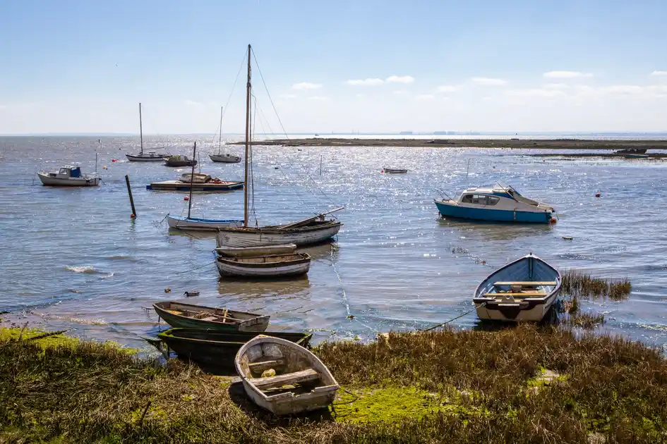
The Essex Coast is shaped by a long and deeply indented shoreline of estuaries, tidal creeks, saltmarshes, mudflats and grazing marshes. Rivers including the Stour, Colne, Blackwater and Crouch divide the coast into a succession of peninsulas and estuarine landscapes, creating a coastline that changes considerably between its northern reaches and the Thames Estuary further south.
At the northern edge of the county, the Stour Estuary forms the boundary between Essex and Suffolk. The southern shore of the estuary around the Tendring peninsula forms part of the Suffolk & Essex Coast & Heaths National Landscape, following an extension of the protected landscape into Essex in 2020. Saltmarsh, mudflats, woodland and coastal farmland characterise this part of the coast.
Further south, the Essex coastline continues through a series of estuaries and coastal landscapes around Harwich, the Colne Estuary, the Blackwater and the Dengie peninsula before reaching the Crouch and the Thames Estuary. Much of the coastline is low lying, with extensive intertidal habitats providing internationally and nationally important environments for wildlife.
Walking provides a way to explore these landscapes at the pace of the coastline itself. Sea walls, public footpaths and coastal routes follow sections of the estuaries and marshes, connecting waterside settlements, nature reserves and open stretches of coast. In the north, the Stour Estuary also connects the Essex coast with Manningtree, Dedham Vale and the wider Stour Valley.
Nature reserves, estuary landscapes and coastal settlements provide opportunities for shorter walks and independent exploration throughout the area. From the Stour in the north to the Blackwater, Crouch and Thames further south, the character of the Essex coast is defined as much by its rivers and wetlands as by the open sea.
Check availability
Select your dates to check current availability and prices.