
Exploring Norfolk
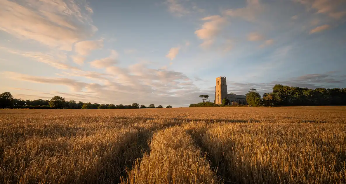
Norfolk lies in the eastern part of England, bordered by the North Sea to the north and east, Lincolnshire and Cambridgeshire to the west, and Suffolk to the south. Its landscapes extend from the beaches, dunes and saltmarshes of the Norfolk Coast to the rivers and wetlands of The Broads National Park, with farmland, river valleys, heathland and woodland covering much of the countryside inland.
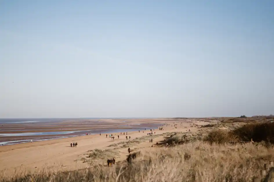
The Norfolk Coast National Landscape protects a substantial stretch of the county's northern coastline, including the beaches and dunes around Hunstanton, Holme-next-the-Sea, Brancaster and Holkham, the saltmarshes of Blakeney and Cley-next-the-Sea, and the coastal settlements further east towards Cromer. Nature reserves, tidal creeks, grazing marshes and coastal paths provide access to these landscapes, with villages and small towns offering places to stay along the coast.
Further inland and to the east, The Broads National Park extends across Norfolk and into Suffolk, protecting a network of rivers, shallow lakes, reedbeds, grazing marshes and wet woodland. The River Bure, River Ant and River Thurne connect much of the northern Broads, while the River Yare and River Waveney form part of the southern waterways. Footpaths, nature reserves and riverside settlements provide opportunities to explore the wetlands on foot.
In the south-west of Norfolk, the Brecks form a contrasting landscape of sandy soils, heathland, pine forests and open countryside. Thetford Forest, Knettishall Heath and the surrounding villages provide access to woodland trails and longer walking routes, including the southern section of the Peddars Way and the Icknield Way Path.
Long-distance trails connect these different parts of Norfolk. The Norfolk Coast Path follows the coastline from Hunstanton towards Hopton-on-Sea, passing beaches, nature reserves, fishing villages and seaside towns. The Peddars Way travels north from Knettishall Heath in Suffolk through rural Norfolk and the historic village of Castle Acre, before meeting the coast at Holme-next-the-Sea.
The Weavers' Way crosses the county between Cromer and Great Yarmouth, linking the north Norfolk coast with the countryside and waterways of the Broads. Other established routes, including the Angles Way and Icknield Way Path, connect Norfolk with the surrounding landscapes of the East of England.
Away from the main trails, historic market towns, villages, nature reserves and places of interest provide opportunities for shorter walks and walking breaks. Castle Acre Priory and Castle Acre Castle stand beside the Peddars Way in the Nar Valley, while the coastal reserves around Holme Dunes, Titchwell Marsh, Blakeney Point and Cley Marshes provide access to some of Norfolk's most distinctive natural landscapes.
From the North Sea coast to the Broads and Breckland, Norfolk can be explored through local footpaths, village walks and longer routes, with accommodation in coastal towns, historic villages and countryside locations across the county.
Check availability
Select your dates to check current availability and prices.
.webp)
.webp)