.webp)
Exploring the Norfolk Coast National Landscape
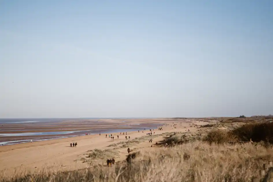
The Norfolk Coast National Landscape extends across 453 km² of the Norfolk Coast, protecting a varied landscape of saltmarsh, dunes, sandy beaches, grazing marsh, woodland, farmland and coastal settlements. Stretching across several distinct sections of the coast, the landscape is shaped by the sea, tides and the wide skies characteristic of this part of Norfolk.
The central section extends east from Old Hunstanton along the Norfolk Coast, where beaches, dunes and saltmarshes create some of the area's most recognisable landscapes. Places including Holme-next-the-Sea, Brancaster, Wells-next-the-Sea and Cley-next-the-Sea provide access to beaches, nature reserves, coastal paths and the open landscapes around them.
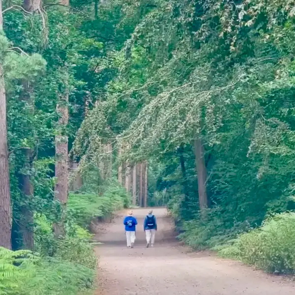
Walking is one of the best ways to explore the area. The Norfolk Coast Path crosses much of the National Landscape, connecting beaches, nature reserves, villages, saltmarshes and stretches of open coast. Shorter paths and local routes make it possible to explore individual landscapes independently, while the long-distance trail provides a continuous route through much of the area.
At Holme-next-the-Sea, the Peddars Way reaches the coast after crossing rural Norfolk from Knettishall Heath and meets the Norfolk Coast Path. This creates a direct walking connection between the inland landscapes of Norfolk and the protected coast.
The character of the National Landscape changes considerably from place to place. The western area includes parts of the Sandringham Estate and landscapes bordering The Wash, while the central coast contains beaches, dunes, saltmarshes, pinewoods and coastal villages. Further east, a separate section around Sea Palling and Winterton-on-Sea protects dunes, coastal levels and the landscape around Winterton Dunes Nature Reserve.
Overview
Landscape: Coast, saltmarsh, dunes, beaches, woodland, farmland and grazing marsh
County: Norfolk
Region: East of England
Country: England
Key Trail: Norfolk Coast Path
Also Connected: Peddars Way
Best For: Coastal walking, wildlife, beaches, nature reserves and long-distance trails
Check availability
Select your dates to check current availability and prices.
.webp)