.webp)
Walk the Peddars Way
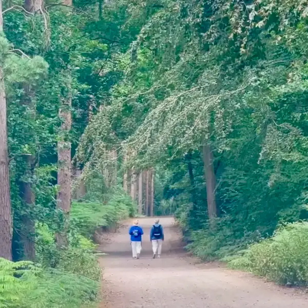
The Peddars Way is a 46-mile / 74 km long-distance trail running from Knettishall Heath to Holme-next-the-Sea, where it meets the Norfolk Coast Path. Following the line of an ancient route north through Breckland and rural Norfolk, the trail passes through heathland, woodland, open countryside and historic villages before reaching the dunes and saltmarshes of the Norfolk Coast.
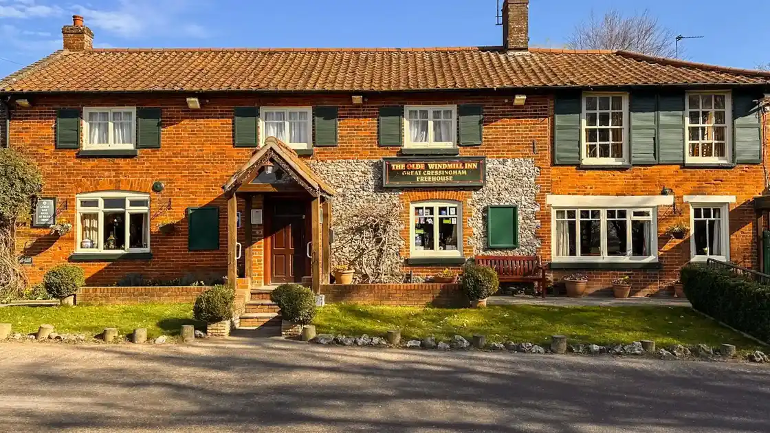
Beginning among the forests and heathlands around Knettishall Heath, the Peddars Way gradually moves into a more open agricultural landscape as it heads north. Along the route, the trail connects places including Great Cressingham, Castle Acre, Great Massingham and Ringstead.
Much of the route follows tracks, field paths and quiet lanes, with long stretches through sparsely populated countryside. The terrain is generally gentle, allowing the changing landscape and places along the way to become as much a part of the walk as the distance itself.
Approaching the coast, the character of the route changes again as farmland gives way to the landscapes of the Norfolk Coast National Landscape. At Holme-next-the-Sea, the Peddars Way reaches the dunes and saltmarshes of the Norfolk Coast and meets the Norfolk Coast Path.
Explore selected places to stay along the route, find practical guides for planning your walk, discover shorter walking breaks or follow the complete Peddars Way over several days.
Overview
Distance: 46 miles / 74 km
Typical duration: 3–5 walking days
Difficulty: Easy-going to Moderate
Start: Knettishall Heath
Finish: Holme-next-the-Sea
Terrain: Heathland, woodland paths, countryside tracks, historic villages and coastal landscapes
Check availability
Select your dates to check current availability and prices.
.webp)
.webp)
.webp)
.webp)

.webp)