

Walking The Norfolk Coast Path
We arrived at Holme-next-the-Sea in the evening after several days walking the Peddars Way.
The transition between the two National Trails is surprisingly natural. One moment you're following an ancient route through the Norfolk countryside, the next you're standing among dunes and saltmarsh looking out across The Wash.
After days of inland walking, the coast felt completely different. The landscape opened, the sky seemed larger, and the sounds of woodland and farmland were replaced by wind, water, and birds moving across the shoreline.
We spent some time exploring Holme Dunes before continuing east along the Norfolk Coast Path over the following days. The route quickly revealed a side of Norfolk shaped by weather, wildlife, and the sea.
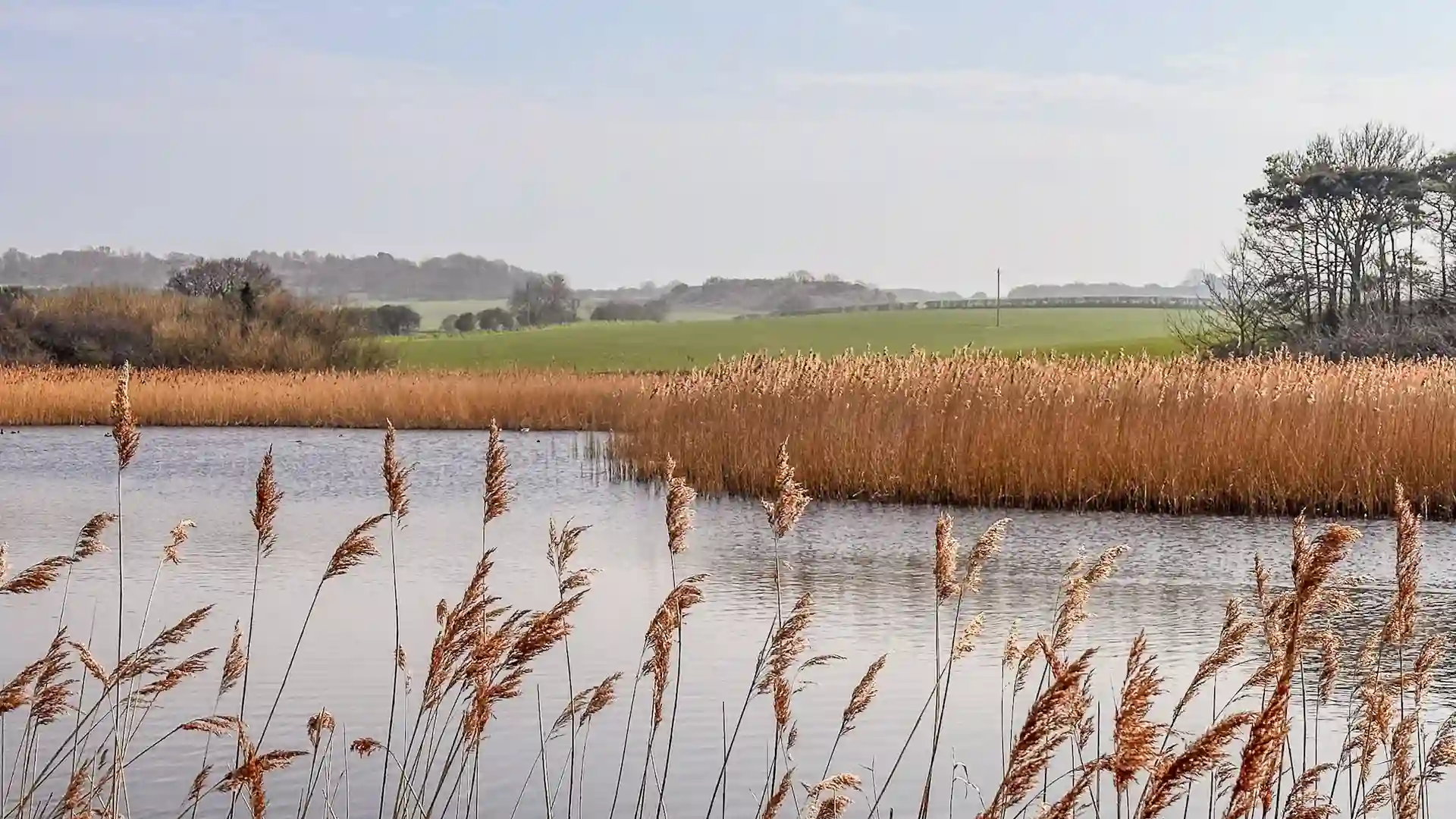
From Holme-next-the-Sea, the path passes through the Norfolk Coast National Landscape, one of England's most distinctive protected coastal environments. The route links dunes, saltmarsh, beaches, reedbeds, pine woodland, nature reserves, and coastal villages, revealing how closely the landscape is influenced by tide, weather, and the North Sea.
Unlike the steady inland character of the Peddars Way, the coast is constantly changing. Tides reshape the shoreline, light transforms the marshes throughout the day, and each section of the route has its own distinct character.
Over the following days, we passed through places such as Brancaster and Burnham Overy Staithe, Wells-next-the-Sea, Blakeney, Cley-next-the-Sea, Sheringham, and Cromer. Some sections followed wide sandy beaches. Others crossed harbour walls, threaded through pine forests, or wound along raised paths above saltmarsh rich in birdlife.
One of the things that stood out most was the variety. Although the route remains within the same National Landscape, no two sections felt quite the same. Around Wells-next-the-Sea, the combination of pine woodland, dunes, and expansive beaches created a landscape unlike anywhere else on the trail. Further east, the marshes around Blakeney and Cley felt quieter and more open, shaped by water, wildlife, and changing skies.
The villages became part of the rhythm of the journey too. Fishing harbours, sailing clubs, independent cafés, and rows of flint cottages provided natural stopping points between longer stretches of coastline. Despite its popularity, much of the route retained a calm, unhurried feel.
Walking the Norfolk Coast Path never felt rushed. The terrain was generally gentle, distances were manageable, and there always seemed to be another beach, nature reserve, harbour, or viewpoint waiting around the next bend.
Looking back, what remains most memorable is the sense of openness.
Big skies. Long horizons. Tidal landscapes. Constant movement in the light and weather.
The Norfolk Coast Path may follow the edge of the sea, but it reveals far more than coastline alone. It is a journey through one of England's most distinctive landscapes, where nature, history, and the rhythms of the tide shape every stage of the route.
By the time we reached the eastern end of the trail, it felt clear why so many people return to this coastline year after year.
The route changes constantly.
The landscape never really stands still.