A relatively dry part of Britain
East Anglia has a relatively dry climate compared with many western and upland parts of Britain.
Its position in the east of England places much of the region in the rain shadow of higher ground further west, while the predominantly low-lying landscape is very different from the wetter conditions associated with Britain's mountain regions.
For walking, however, lower annual rainfall does not necessarily mean consistently dry conditions. Weather can change throughout the year, and individual trails cross very different types of ground.
Walking through a low-lying landscape
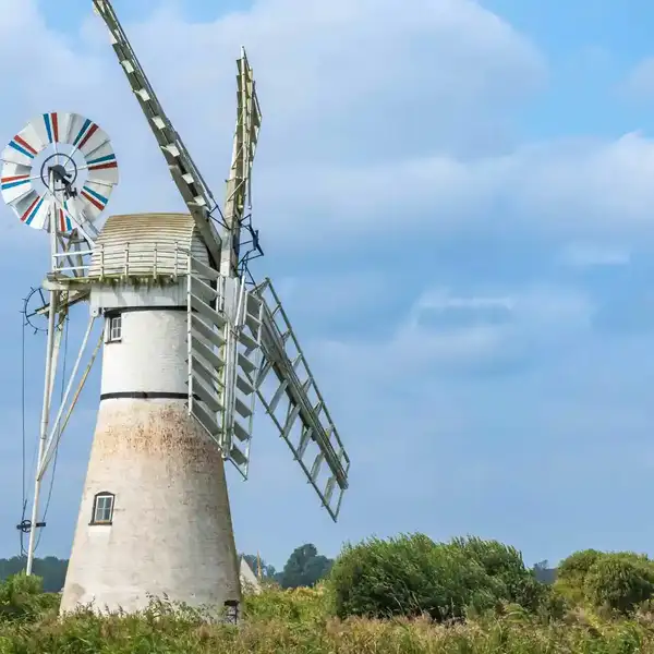
Much of East Anglia is characterised by relatively low elevations and open countryside.
Trails such as the Peddars Way in Norfolk cross heathland and agricultural landscapes, while routes further south pass through the river valleys and farmland of Suffolk and Essex.
There are few significant climbs, but the lack of high ground can leave some sections exposed to wind and changing weather.
This is particularly noticeable across open farmland, heathland and the coast.
Conditions on the coast
The character of the weather changes towards the North Sea.
Along routes such as the Norfolk Coast Path and Suffolk Coast Path, wind and exposure can have a greater influence on walking conditions.
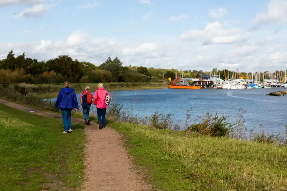
Coastal weather can also differ from conditions further inland, particularly where trails cross beaches, dunes, saltmarshes and exposed sea walls.
Tides and coastal conditions can be important on particular routes and should be considered separately from the general weather forecast.
Seasonal changes
Spring and summer bring longer daylight hours and generally warmer conditions, while autumn and winter bring shorter days and a greater likelihood of wet or soft ground.
Conditions also depend heavily on the landscape.
The sandy soils and heathland of the Brecks can respond differently to prolonged rain than clay farmland, river valleys, coastal marshes or low-lying sections elsewhere in the region.
For walkers, recent weather can therefore be more useful than assumptions based simply on the season.
Weather across East Anglia's trails
The region's long-distance routes cross a wide range of landscapes.
The Peddars Way runs from the Brecks to the Norfolk coast. The Norfolk Coast Path follows an exposed coastal landscape. The Suffolk Coast Path crosses estuaries, heathland and low-lying coastal country.
Further inland, the St Edmund Way crosses the countryside of Suffolk and Norfolk, while the Stour Valley Path follows the valley of the River Stour through Suffolk and Essex. The Weavers’ Way crosses north-east Norfolk between Cromer and Great Yarmouth, passing through farmland, river valleys and the Broads.
The weather may be regional, but its effect on a walk depends on the landscape the trail crosses.
.webp)
.webp)
%20(1).webp)
.webp)
.webp)