
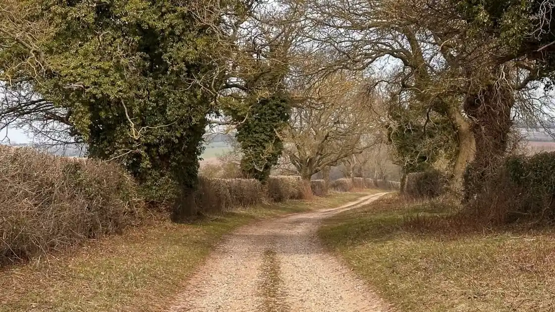
An ancient route through Norfolk
The Peddars Way follows a remarkably direct line north from Knettishall Heath towards the Norfolk coast.
Much of the trail follows the course of a Roman road, although the route itself may have earlier origins.
Its history remains visible in the landscape today. Long, straight sections cross open countryside, linking tracks, lanes and paths through a predominantly rural part of Norfolk.
Across the Brecks
The trail begins within the Brecks, a landscape characterised by sandy soils, heathland, forestry and farmland.
Around Knettishall Heath, paths cross heathland and woodland before the Peddars Way continues north towards Norfolk.
The underlying sandy soils are one of the defining characteristics of this part of East Anglia and contribute to the distinctive landscape at the southern end of the trail.
Tracks through rural Norfolk
Further north, the Peddars Way moves increasingly through agricultural country.
The route uses a mixture of tracks, field-edge paths, lanes and short paved sections as it passes places including Great Cressingham, Castle Acre, Great Massingham and Ringstead.
The long alignment of the trail remains apparent through much of this section, even as the surrounding landscape changes.
Approaching the coast
Beyond Ringstead, the Peddars Way approaches Holme-next-the-Sea and the Norfolk Coast National Landscape.
Here the inland agricultural landscape begins to give way to the dunes, grassland, saltmarsh and sandy ground associated with the Norfolk coast.
At Holme, the Peddars Way meets the Norfolk Coast Path, connecting the ancient inland route with the coastal trail heading east.
Walking the route today
The surfaces encountered along the Peddars Way reflect the landscapes it crosses.
Walkers move between sandy paths, woodland tracks, agricultural tracks, field-edge paths, lanes and short paved sections.
Conditions can vary with recent weather, particularly on unpaved sections, but there is no significant mountainous or technical terrain along the route.
.webp)