
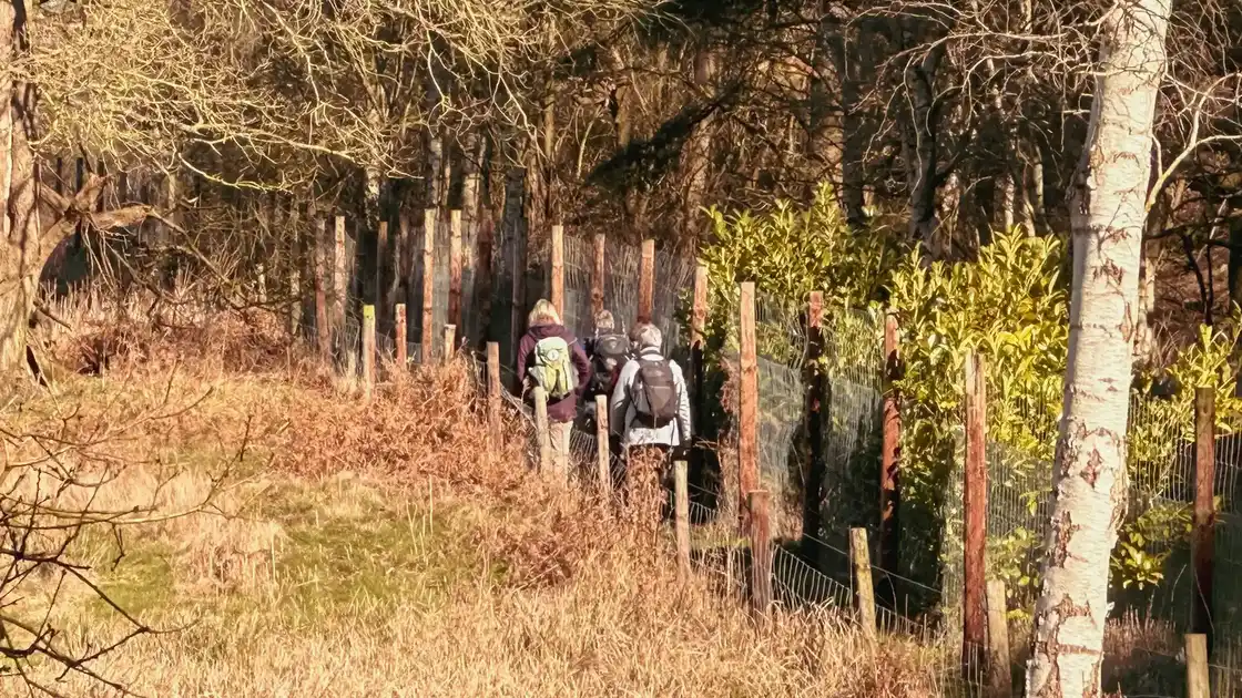
An ancient route from heathland to sea
Walking the Peddars Way follows an ancient route for 46 miles / 74 kilometres from Knettishall Heath to Holme-next-the-Sea on the Norfolk Coast.
Beginning among heathland and woodland at Knettishall Heath, the trail heads north through open countryside and historic villages before reaching the dunes and saltmarshes of the coast.
Much of the Peddars Way follows the line of a Roman road established almost 2,000 years ago. Its remarkably direct course can still be seen in long, straight sections of the trail, creating a continuous line through a landscape that changes gradually over the course of the walk.
From Knettishall Heath into open country
The journey begins at Knettishall Heath, close to the Norfolk-Suffolk border. Sandy paths cross heathland and woodland before the trail continues into the wider Breckland landscape.
This southern section has a distinctly wooded character in places, with forest tracks, heathland and stretches of open countryside. Further north, the landscape gradually changes as woodland gives way to farmland, field-edge paths and quiet rural lanes.
There are few dramatic transitions. Instead, the character of the Peddars Way comes from watching the landscape change slowly while continuing north along the ancient route.
Villages along the way
Small villages provide natural points of reference along the Peddars Way and help shape the rhythm of a multi-day walk.
Great Cressingham lies close to the trail as it passes through the countryside of West Norfolk, while further north Castle Acre brings the route through one of its most distinctive historic settlements.
Here, the trail passes close to Castle Acre Castle before continuing through the village and across the Nar Valley. Castle Acre Priory stands nearby beside the River Nar, creating an opportunity to explore beyond the line of the trail itself.
Beyond Castle Acre, the route returns to open countryside before passing close to Great Massingham, where local lanes and footpaths connect the village with the Peddars Way.
Castle Acre and the Nar Valley
The passage through Castle Acre gives the Peddars Way a different character from the long stretches of countryside on either side.
The village developed around an important concentration of Norman buildings. Castle Acre Castle occupies higher ground above the settlement, while Castle Acre Priory stands close to the River Nar below.
Walking through the village connects these historic places with the surrounding landscape. The Peddars Way then crosses the Nar Valley and continues north, leaving Castle Acre behind as farmland and rural lanes once again become the dominant features of the route.
Towards the Norfolk coast
North of Great Massingham, the Peddars Way continues through the agricultural landscape of West Norfolk towards Ringstead.
The village lies only a few miles inland from the coast and marks the beginning of the trail's final approach to the sea. From Ringstead, the route continues north across open farmland towards Holme-next-the-Sea.
The change is gradual. The inland landscape becomes increasingly open before dunes, saltmarsh and the wide skies of the western Norfolk coast begin to define the surroundings.
Reaching Holme-next-the-Sea
At Holme-next-the-Sea, the Peddars Way reaches the coast close to Holme Dunes Nature Reserve.
After 46 miles of heathland, woodland, villages and open countryside, the arrival at the coast provides a natural conclusion to the journey.
It is also where the Peddars Way connects with the Norfolk Coast Path. From here, the walking landscape changes again, with the coastal trail continuing through dunes, beaches, saltmarshes, nature reserves and settlements along the Norfolk coast.
The meeting of the two trails makes Holme-next-the-Sea more than simply the end of the Peddars Way. It forms a connection between an ancient inland route and the wider network of paths following the Norfolk coastline.
A journey through the Norfolk landscape
The Peddars Way is defined less by a single landmark than by the progression of landscapes encountered along its route.
Heathland and woodland around Knettishall give way to the agricultural countryside of West Norfolk. Historic settlements such as Castle Acre interrupt longer stretches of open country, while the final miles through Ringstead and Holme-next-the-Sea introduce the coastal landscape.
Following the trail from beginning to end reveals these changes gradually, connecting places that can otherwise feel separate into a single journey from Breckland to the North Sea.
.webp)
.webp)