
From Hunstanton along the coast
The Norfolk Coast Path begins at Hunstanton and follows the Norfolk coastline east towards Hopton-on-Sea.
From Hunstanton, the route passes the town's distinctive striped cliffs before continuing towards Old Hunstanton and the open coastal landscape around Holme-next-the-Sea.
At Holme-next-the-Sea, the route meets the Peddars Way, connecting the Norfolk Coast with the long-distance trail running south through western Norfolk to Knettishall Heath.
Beaches, saltmarshes and nature reserves
Much of the western section of the Norfolk Coast Path passes through the Norfolk Coast National Landscape.
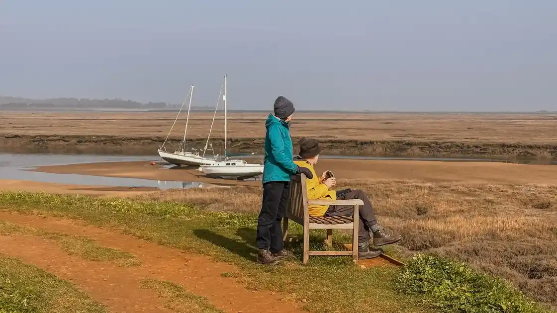
The route crosses a changing mixture of beaches, dunes, saltmarshes, reedbeds, grazing marshes and tidal creeks. Nature reserves including Holme Dunes, Titchwell Marsh, Blakeney Point and Cley Marshes form part of the wider coastal landscape.
Tides have a strong influence on this part of the coast, particularly around its harbours, creeks and saltmarshes.
Through the villages of the north Norfolk coast
The trail connects a series of coastal settlements as it travels east.
Brancaster, Burnham Deepdale, Wells-next-the-Sea, Blakeney and Cley-next-the-Sea provide stopping points through the western and central sections of the route.
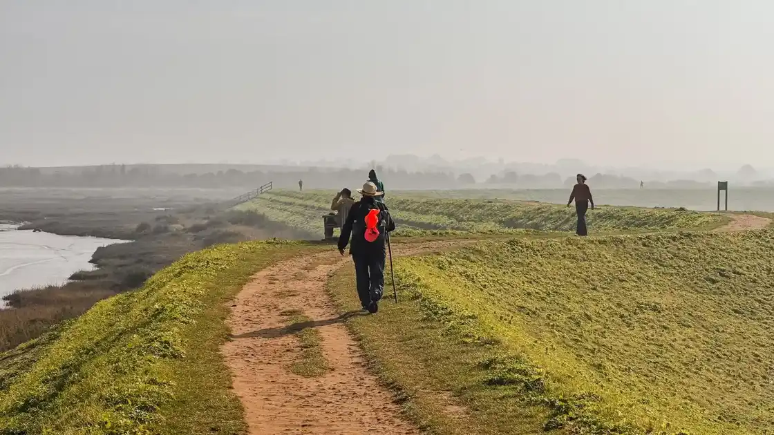
Between them, the path returns repeatedly to open coastal landscapes, with sections beside marshes, beaches and agricultural land.
From Cley to Cromer
Beyond Cley, the character of the coast gradually changes as the trail continues towards Sheringham and Cromer.
The landscape becomes more varied in elevation, with cliffs and higher ground appearing along parts of the coastline.
Cromer is one of the larger settlements on the route, after which the trail continues along the eastern Norfolk coast.
Along the eastern Norfolk coast
From Cromer, the Norfolk Coast Path continues through Mundesley and Happisburgh towards Sea Palling and Winterton-on-Sea.
Long beaches, dunes and sections of cliff replace many of the saltmarsh landscapes found further west.
The route then continues south towards Great Yarmouth before reaching Hopton-on-Sea.
Walking from Hunstanton to Hopton-on-Sea
The complete Norfolk Coast Path covers approximately 84 miles between Hunstanton and Hopton-on-Sea.
Its predominantly low-lying terrain makes it physically different from many upland long-distance trails, although walking conditions vary considerably between firm paths, beaches, dunes and exposed coastal sections.
The route can be divided into stages using the towns and villages along the coast, allowing the complete trail to be walked over several days.
.webp)