
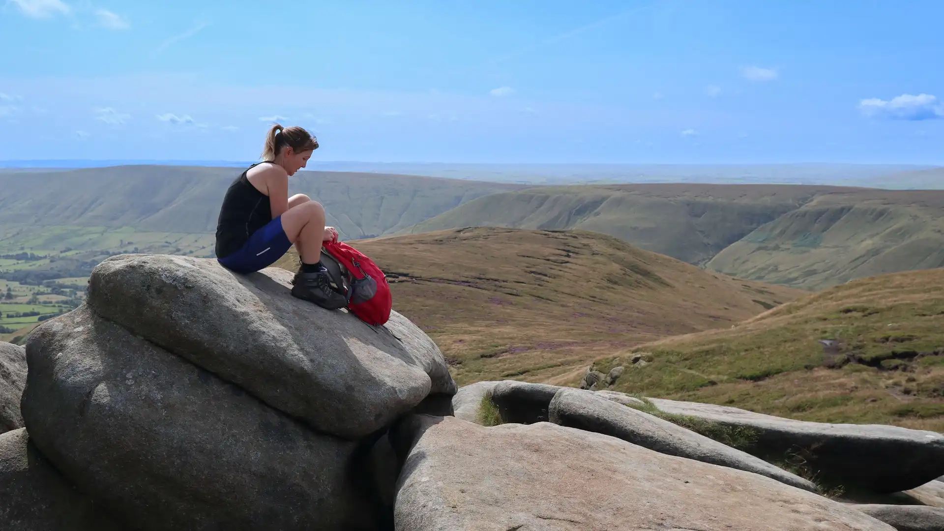
Upland valley, gritstone edges, and moorland plateau beneath Kinder Scout
Edale sits at the head of the Hope Valley in Derbyshire within the Peak District National Park and marks the southern start of the Pennine Way. The trail begins in the centre of the village before climbing onto the surrounding hills, linking Edale with Kinder Scout, Jacob’s Ladder, and the high moorland plateau to the north.
The settlement lies on the valley floor, enclosed by steep slopes and gritstone edges. Walking routes leave the village along farm tracks and stone paths before rising quickly onto open hillside and moorland. Ground conditions range from firm valley paths and fields to rocky steps, pitched stone sections, and exposed upland terrain on higher ground.
Edale functions as one of the main access points for this part of the Peak District. There are cafés, pubs, small shops, and places to stay, and the railway station provides regular services between Manchester and Sheffield, making it a common starting or finishing point for longer routes.
From the village, the Pennine Way climbs north via Jacob’s Ladder onto Kinder Scout and continues across the Dark Peak toward Bleaklow and the high Pennines. Other paths follow the Great Ridge toward Mam Tor and Lose Hill or east along the valley toward Hope.
Check availability
Select your dates to check current availability and prices.