
Pennine Way
High moorland, remote landscapes, and a journey along the backbone of northern England.
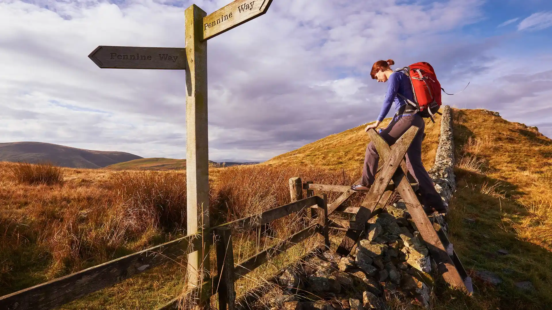
The Pennine Way is a long-distance National Trail running from Edale in Derbyshire to Kirk Yetholm in the Scottish Borders. Following the spine of northern England, the route crosses the Peak District, Yorkshire Dales, North Pennines, and Northumberland, linking some of Britain's most celebrated upland landscapes through a continuous journey on foot.
As a self-guided journey, the route connects places such as Edale, Hebden Bridge, Malham, Hawes, Middleton-in-Teesdale, and Bellingham while passing through peat moorland, limestone country, river valleys, and remote upland terrain. Long ridges, exposed crossings, and vast open landscapes define much of the route, creating one of England's most demanding and rewarding long-distance trails.
With well-established paths, clear waymarking, and a strong long-distance walking heritage, the Pennine Way remains one of Britain's most iconic routes. The trail rewards commitment and endurance, offering a sustained journey through changing upland landscapes shaped by weather, distance, and time spent on foot.
Overview
Distance 268 miles / 431 km
Duration 14–20 days
Difficulty Challenging
Start Edale, Derbyshire
Finish Kirk Yetholm, Scottish Borders
Terrain High moorland paths, upland ridges, limestone valleys, river crossings, and small villages
