
Exploring Yorkshire and the Humber
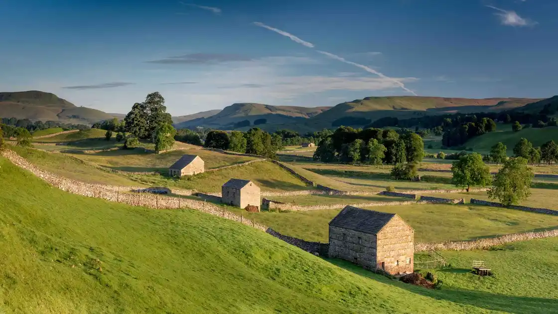
Yorkshire and the Humber brings together North Yorkshire, East Riding of Yorkshire, West Yorkshire, South Yorkshire and Lincolnshire's northern Humber landscapes, with countryside ranging from the limestone valleys and upland hills of the Yorkshire Dales to the open moorlands of North Yorkshire, the rolling chalk hills of the Yorkshire Wolds and the low-lying landscapes around the Humber Estuary. Historic market towns, coastal settlements, fishing villages and former industrial communities reflect the region's varied geography and its long relationship with farming, trade and industry.
Protected landscapes preserve some of the region's most distinctive environments. The Yorkshire Dales National Park encompasses limestone pavements, deep valleys, waterfalls and open upland countryside, while the North York Moors National Park protects extensive heather moorland, wooded valleys and a dramatic stretch of the Yorkshire coast. The Howardian Hills National Landscape lies between the Vale of York and the North York Moors, with rolling hills, woodland, farmland and historic estates. To the south-west, the Peak District National Park extends into South Yorkshire, providing access to gritstone edges, moorland and upland walking routes.
Long-distance trails connect many of these landscapes. The Pennine Way crosses the Yorkshire Dales and Pennine uplands, while the Cleveland Way follows the edge of the North York Moors before turning south along the Yorkshire coast. The Coast to Coast Path crosses the Yorkshire Dales and North York Moors on its journey between the Irish Sea and the North Sea, with established sections through both national parks. The Dales Way connects the Yorkshire Dales with the Lake District, while the Dales High Way follows a higher-level route through the limestone hills and uplands of the Dales.
Other walking routes explore the region's historic landscapes, river valleys and coast. The Yorkshire Wolds Way crosses the chalk hills of the Yorkshire Wolds towards Filey, while the King Charles III England Coast Path North East provides opportunities to explore coastal landscapes, beaches, cliffs and settlements along the North Sea. In West Yorkshire, the Saltaire UNESCO World Heritage Site preserves a nineteenth-century industrial village beside the River Aire and Leeds and Liverpool Canal, with towpaths and riverside routes connecting the historic settlement to the surrounding landscape.
Beyond the long-distance trails, Yorkshire and the Humber offers opportunities to explore historic towns, coastal villages, nature reserves, woodland and wild places on foot. From the limestone dales and waterfalls of the Yorkshire Dales to the heather moorlands of the North York Moors, the Yorkshire Wolds and the Humber Estuary, the region provides a varied setting for shorter walks, walking breaks and multi-day journeys, with places to stay across its towns, villages and countryside.