
Cleveland Way
High moorland ridges, rugged coastline, and a journey across North Yorkshire.
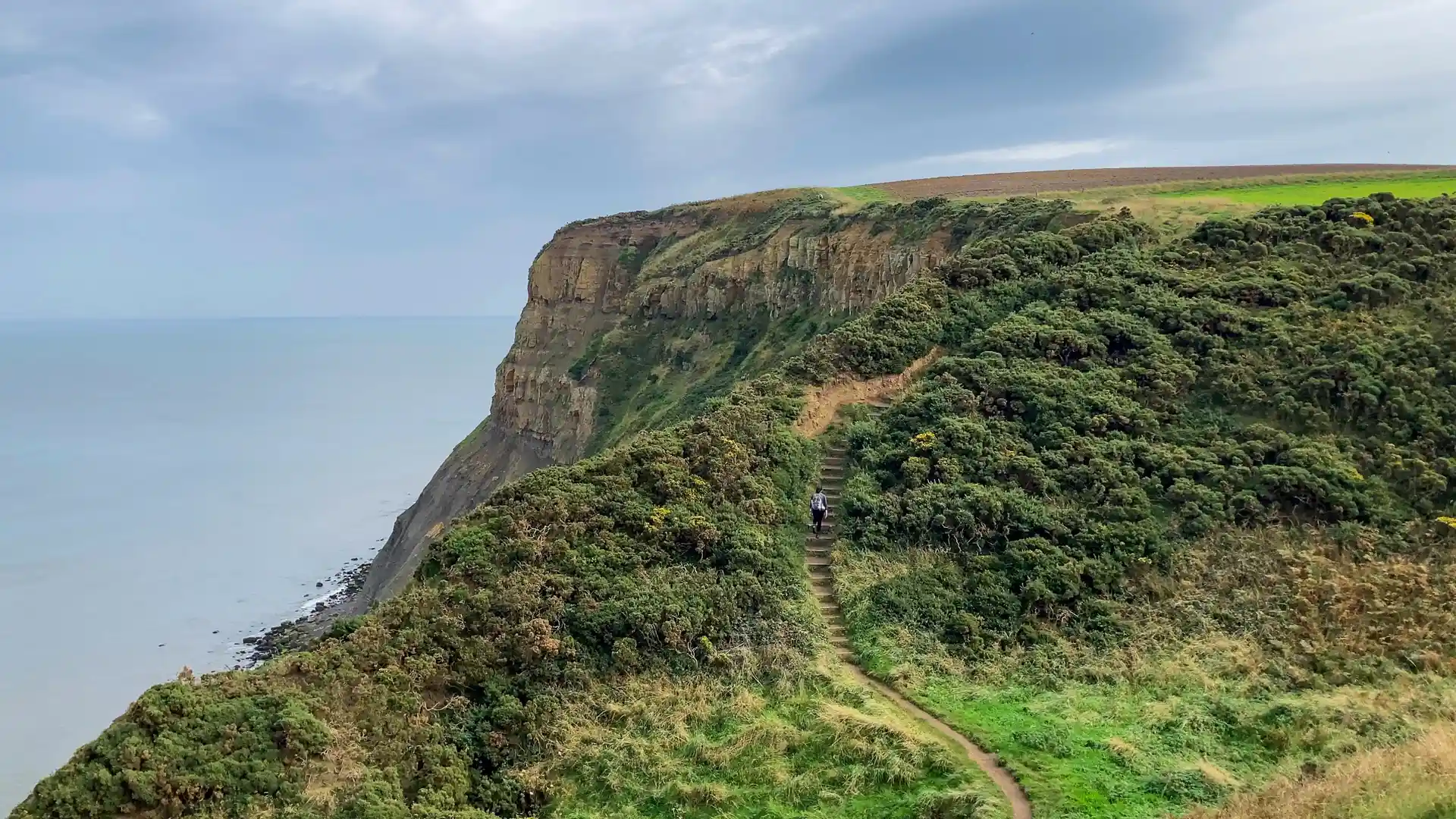
The Cleveland Way is a long-distance National Trail running from Helmsley to Filey through the landscapes of North Yorkshire. Crossing the North York Moors National Park before following the North Sea coastline, the route links heather moorland, escarpment edges, woodland, fishing villages, and dramatic coastal cliffs through one of England's most varied walking journeys.
As a self-guided journey, the route connects places such as Helmsley, Osmotherley, Whitby, Robin Hood's Bay, Scarborough, and Filey while passing through open moorland, river valleys, coastal headlands, and historic settlements. The trail is defined by its transition from upland landscapes to the sea, creating a route where changing scenery becomes part of the experience.
With well-established National Trail waymarking and a range of places to stay along the route, the Cleveland Way offers a rewarding long-distance walk through northern England. The trail combines expansive moorland, maritime heritage, and coastal scenery, revealing the contrasting landscapes of the North York Moors and Yorkshire coast within a single journey.
Overview
Distance 109 miles / 175 km
Duration 7–9 days
Difficulty Moderate
Start Helmsley, North Yorkshire
Finish Filey, North Yorkshire
Terrain Moorland paths, escarpment tracks, woodland trails, coastal clifftops, villages, and minor roads
