
Walk the Icknield Way Path
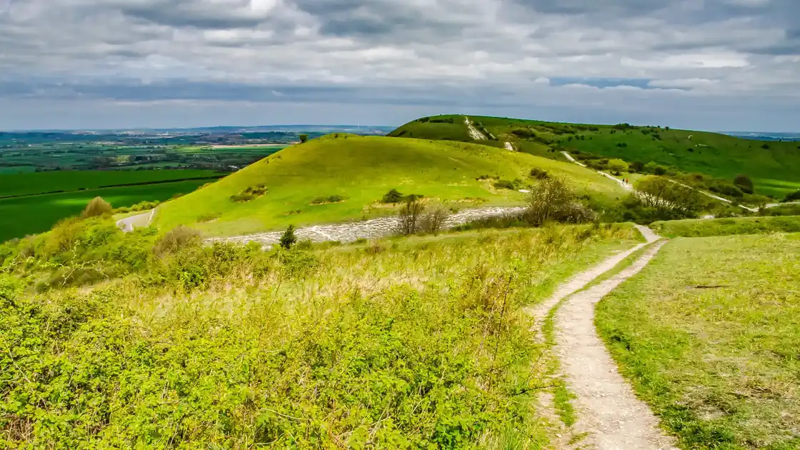
The Icknield Way Path is an approximately 110-mile / 177 km long-distance path running from Ivinghoe Beacon in Buckinghamshire to Knettishall Heath in Suffolk. Following the general line of the ancient Icknield Way, the route crosses chalk hills, farmland, woodland and open countryside as it travels east towards the Brecks.
Beginning at Ivinghoe Beacon, the path connects with the Ridgeway before heading north-east through the chalk landscapes of the Chilterns. The route continues through Bedfordshire and into Cambridgeshire, using a mixture of field paths, tracks, green lanes and quiet roads through predominantly rural countryside.
Further east, the path passes through the chalk landscapes around Royston before continuing through southern Cambridgeshire towards Linton, Balsham and the villages west of Suffolk. From here, the route passes through places including Stetchworth, Cheveley, Ashley, Dalham and Gazeley as it continues towards the Brecks.
As the route enters Suffolk, the landscape gradually changes as it approaches the Brecks. Chalk and farmland give way to lighter soils, heathland and woodland as the path continues towards Knettishall Heath.
At Knettishall Heath, the Icknield Way Path meets the Peddars Way, which continues north through Norfolk to the coast at Holme-next-the-Sea, where it meets the Norfolk Coast Path. Together with the Ridgeway to the west, these trails form part of a much longer connected network of long-distance walking routes across southern and eastern England.
Overview
Distance: Approximately 110 miles / 177 km
Typical duration: 7–9 walking days
Difficulty: Easy-going to Moderate
Start: Ivinghoe Beacon
Finish: Knettishall Heath
Terrain: Chalk hills, field paths, countryside tracks, green lanes, woodland and heathland
Check availability
Select your dates to check current availability and prices.