
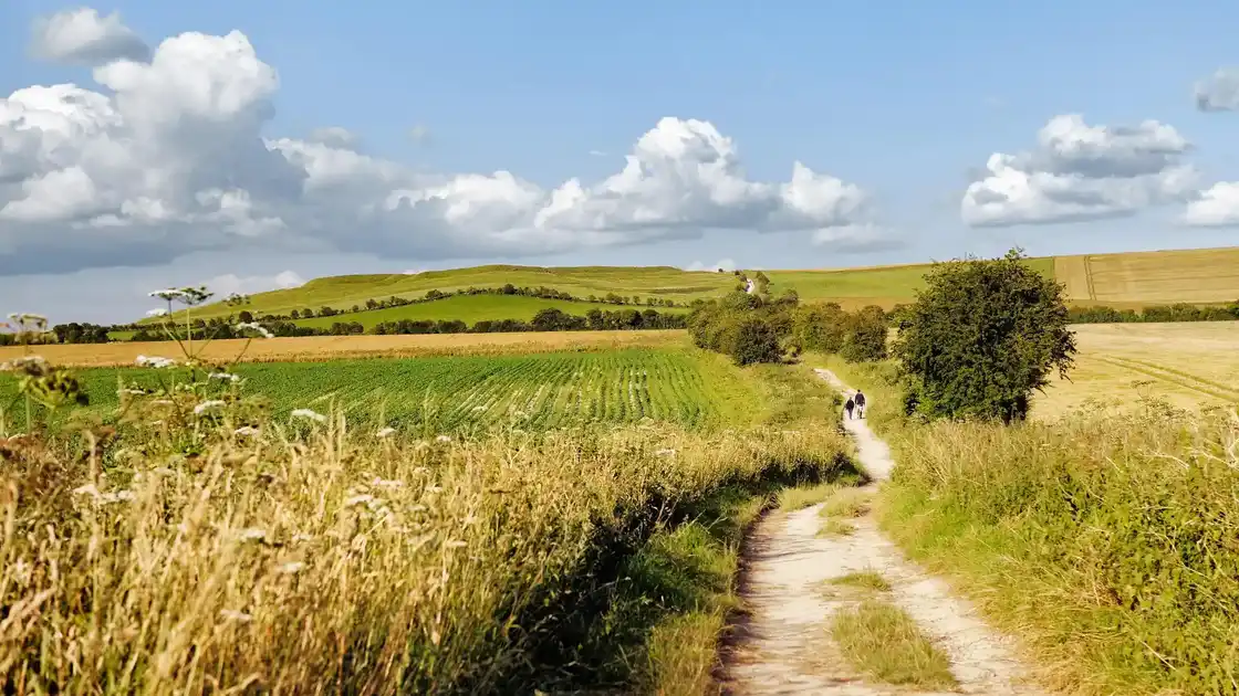
Walk The Ridgeway
The Ridgeway follows an ancient route across southern England for 87 miles from Overton Hill in Wiltshire to Ivinghoe Beacon in Buckinghamshire. The National Trail crosses the chalk landscapes of the North Wessex Downs National Landscape before continuing through the Chilterns National Landscape towards its eastern finish.
From Overton Hill, the trail heads east through the prehistoric landscape around Avebury, part of the Stonehenge, Avebury and Associated Sites UNESCO World Heritage Site, and across the open chalk downs of Wiltshire. Ancient monuments, burial mounds and hill forts lie close to the route as it follows broad ridges and tracks across the North Wessex Downs.
The trail continues through Oxfordshire, passing through open downland and agricultural landscapes towards the River Thames. Around Goring and Streatley, The Ridgeway reaches the Thames before crossing the river and entering the Chiltern Hills.
East of the Thames, the character of the route gradually changes as The Ridgeway passes through the wooded hills, farmland and villages of the Chilterns. The trail continues along ridges and through beech woodland, with sections offering views across the surrounding countryside.
The final stages cross the eastern Chiltern Hills towards Tring before climbing to Ivinghoe Beacon. The prominent chalk hill marks the eastern end of The Ridgeway, overlooking the surrounding countryside of Buckinghamshire and Hertfordshire.
Avebury, Wantage, Goring and Streatley, Tring and nearby villages provide useful bases for exploring the route, with accommodation available both on and close to the trail.
Overview
Distance: 87 miles / 139 km
Typical duration: 6–8 walking days
Difficulty: Moderate
Start: Overton Hill, Wiltshire
Finish: Ivinghoe Beacon, Buckinghamshire
Terrain: Chalk downs, ridge paths, ancient tracks, farmland, woodland, hills and river valleys
Check availability
Select your dates to check current availability and prices.