
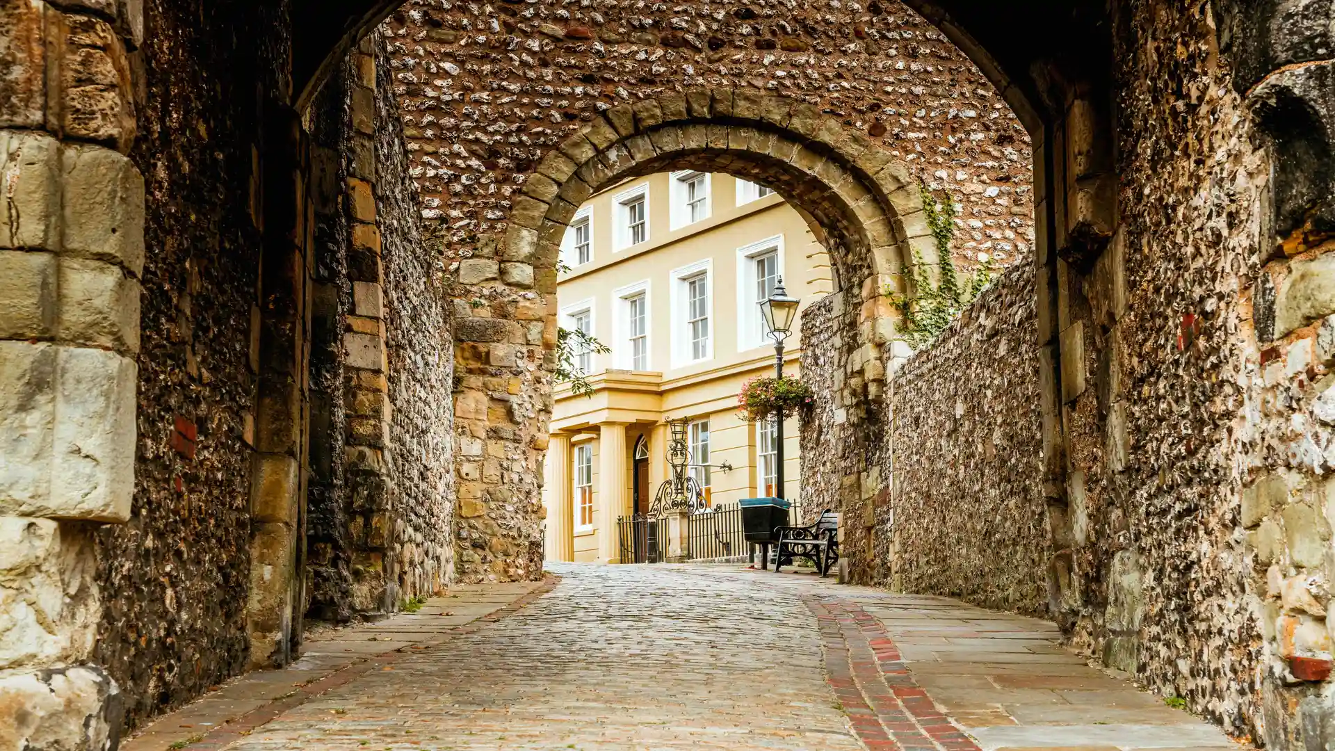
Chalk hills, river meadows, and historic streets at the foot of the Downs
Lewes sits in the valley of the River Ouse in East Sussex within the South Downs National Park, directly below the chalk escarpment of the Downs. The Ouse Valley Way runs through the centre along the riverside, while the South Downs Way follows the ridge just south of town near Kingston and Mount Caburn, with short linking paths connecting Lewes to the trail.
The settlement stretches along the valley floor beneath steep chalk slopes and dry valleys. Walking routes move between level riverside paths, woodland tracks, and bridleways climbing onto open downland, where wide views extend across the Weald and toward the coast. Ground conditions range from paved streets and towpaths to grassy and chalky hillside trails.
Lewes functions as one of the main access points for this part of the Downs. The town has food shops, cafés, pubs, accommodation, and regular rail services to Brighton, London, and surrounding villages, making it a convenient base for joining or leaving longer routes.
From the centre, paths climb south to meet the South Downs Way toward Southease and Alfriston or west toward Ditchling Beacon. The Ouse Valley Way follows the river north through meadows and woodland or south toward Newhaven and the sea.
Check availability
Select your dates to check current availability and prices.