
Walk the South Downs Way
The South Downs Way is a 100-mile / 160 km National Trail running from Winchester in Hampshire to Eastbourne in East Sussex. The route lies entirely within the South Downs National Park, following chalk ridges, open downland, farmland and woodland across southern England before reaching the coast above Eastbourne.
Beginning at Winchester City Mill, the western end of the trail, the South Downs Way leaves Winchester beside the River Itchen and climbs into the Hampshire countryside. The route passes Cheesefoot Head before continuing towards Beacon Hill, Exton and Old Winchester Hill, where chalk grassland and the remains of an Iron Age hillfort occupy high ground above the Meon Valley.
Beyond Old Winchester Hill, the trail continues towards Butser Hill, the highest point on the South Downs Way, before passing Queen Elizabeth Country Park and Buriton. From here, the route follows the downs east through Harting Down and towards Cocking.
From Cocking, the South Downs Way climbs through the western Sussex Downs towards Bignor Hill before descending to the River Arun and Amberley. East of Amberley, the trail climbs back onto the downs and continues towards Washington and Chanctonbury Ring before descending to cross the River Adur.
Beyond the Adur, the route returns to high chalk downland and passes Truleigh Hill before reaching Devil's Dyke. The trail then continues through Pyecombe and climbs to Ditchling Beacon before crossing the countryside north of Brighton and continuing towards the River Ouse.
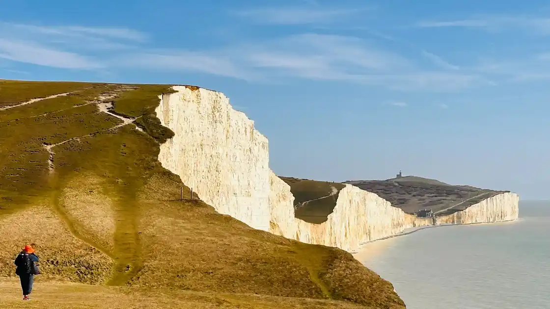
After crossing the Ouse, the South Downs Way climbs towards Firle Beacon before descending to Alfriston in the Cuckmere Valley. From Alfriston, the coastal route continues towards Cuckmere Haven, where the final section crosses the chalk cliffs of the Seven Sisters, passes Birling Gap and climbs over Beachy Head before descending into Eastbourne.
Across its length, the South Downs Way connects historic settlements, chalk grassland, river valleys, hillforts, viewpoints and the white cliffs of the Sussex coast. It can be walked from end to end or explored through shorter sections and circular walks using destinations along the route as bases.
Overview
Distance: 100 miles / 160 km
Typical duration: 8–9 walking days
Difficulty: Moderate
Start: Winchester
Finish: Eastbourne
Terrain: Chalk downland, ridges, grassland, farmland, woodland, river valleys and coastal cliffs
Check availability
Select your dates to check current availability and prices.