
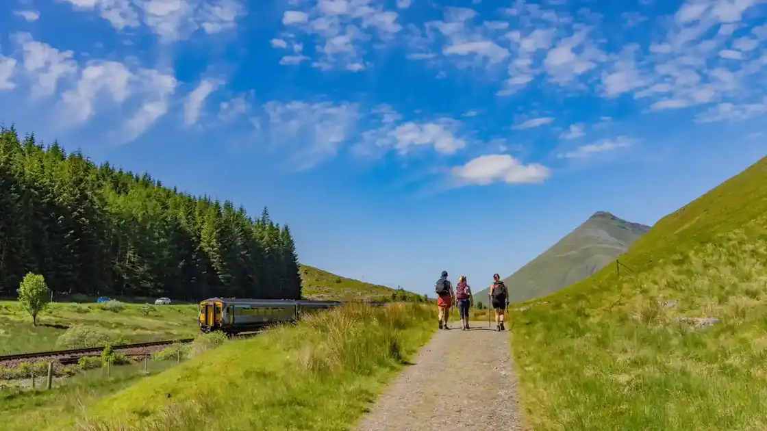
Walk the West Highland Way
The West Highland Way runs for 96 miles from Milngavie, north of Glasgow, to Fort William in the Scottish Highlands. The route travels from lowland countryside into increasingly mountainous landscapes, following loch shores, old tracks, military roads and mountain passes on its journey north.
From Milngavie, the West Highland Way heads through countryside and woodland towards Drymen. This relatively gentle opening introduces the route before the trail reaches the southern landscapes of Loch Lomond & The Trossachs National Park.
Beyond Drymen, the route climbs towards Conic Hill before descending to Balmaha on the eastern shore of Loch Lomond. The trail then follows the loch north through woodland and along increasingly rugged shoreline paths towards Rowardennan.
From Rowardennan, the West Highland Way continues along the more remote eastern shore of Loch Lomond. The terrain becomes rougher north of Inversnaid before the route eventually leaves the loch and reaches Inverarnan.
Beyond Inverarnan, the trail follows the River Falloch towards Crianlarich before continuing through the glen towards Tyndrum. Mountains increasingly dominate the landscape as the route moves deeper into the Highlands.
From Tyndrum, the West Highland Way continues north beneath the surrounding mountains towards Bridge of Orchy and Inveroran. Old tracks and military roads lead through broad glens before the route enters the open landscapes of Rannoch Moor.
The crossing of Rannoch Moor leads towards Kingshouse and the mountains around Glen Coe. This is one of the most exposed sections of the West Highland Way, with long stretches of open moorland and extensive views across the surrounding Highland landscape.
Beyond Kingshouse, the trail passes beneath Buachaille Etive Mòr before climbing the Devil's Staircase, the highest point on the West Highland Way. The route then crosses open moorland before descending towards Kinlochleven.
The final stage climbs steeply out of Kinlochleven before entering the mountain pass of Lairigmor. The trail continues towards Glen Nevis, with views towards Ben Nevis and the surrounding mountains, before descending to Fort William.
Milngavie, Drymen, Balmaha, Tyndrum, Kinlochleven and Fort William provide useful bases along the route. Although the complete West Highland Way is a substantial long-distance walk, its transport connections and succession of settlements also make it well suited to shorter sections and walking breaks through Loch Lomond and the Scottish Highlands.
Overview
Distance: 96 miles / 154 km
Typical duration: 6–8 walking days
Difficulty: Moderate to Challenging
Start: Milngavie, East Dunbartonshire
Finish: Fort William, Scottish Highlands
Terrain: Woodland paths, lochside paths, moorland, old military roads, mountain tracks, rocky paths, glens and rural tracks
Check availability
Select your dates to check current availability and prices.