
West Highland Way
Loch shores, open moor, and a journey into the Scottish Highlands.
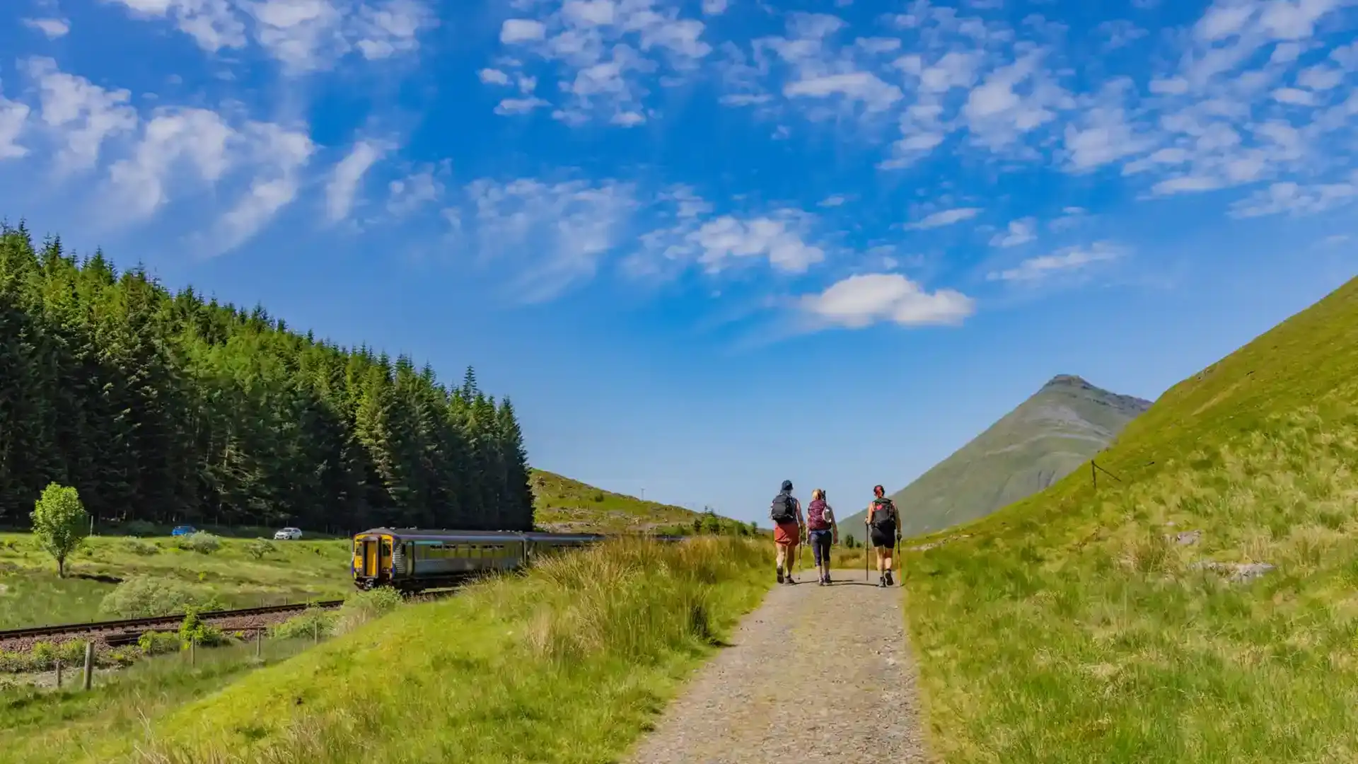
The West Highland Way is a long-distance route running from Milngavie, near Glasgow, to Fort William in the Scottish Highlands. Scotland's best-known long-distance trail, it links farmland, forests, lochs, moorland, glens, and mountain landscapes through a continuous northbound journey that gradually transitions from the Lowlands to the Highlands.
As a self-guided journey, the route connects places such as Milngavie, Drymen, Rowardennan, Crianlarich, Tyndrum, Bridge of Orchy, Kingshouse, Kinlochleven, and Fort William while passing through Loch Lomond & The Trossachs National Park and some of Scotland's most celebrated landscapes. Woodland paths, lochside trails, old drove roads, and mountain tracks create a route defined by progression, where each stage reveals a different aspect of the Scottish landscape.
The character of the trail changes steadily as it moves north. Gentle countryside and woodland give way to the rugged shores of Loch Lomond before the route enters the wider glens and open moorland of the Highlands. Beyond Tyndrum, the landscape becomes increasingly expansive, crossing Rannoch Moor and passing through Glen Coe and Glen Nevis beneath some of Scotland's most dramatic mountain scenery.
With excellent waymarking, a well-developed network of accommodation, and strong transport links at either end, the West Highland Way offers one of Europe's classic long-distance walking journeys. The trail combines natural beauty, Highland history, and a strong sense of achievement, culminating beneath the slopes of Ben Nevis at Fort William.
Overview
Distance 96 miles / 154 km
Duration 6–8 days
Difficulty Challenging
Start Milngavie, East Dunbartonshire
Finish Fort William, Highland
Terrain Forest paths, lochside tracks, rocky shoreline sections, open moorland, mountain passes, and old military roads
