An ancient path between Cornwall’s north and south coasts
The Saints’ Way is a long-distance self-guided travel route linking walking routes, landscapes, and places across Cornwall, running from Padstow on the north coast to Fowey on the south. Following old pilgrimage tracks and trading paths, the route crosses the centre of the county through farmland, wooded valleys, and low granite hills, creating a direct inland passage between the two seas.
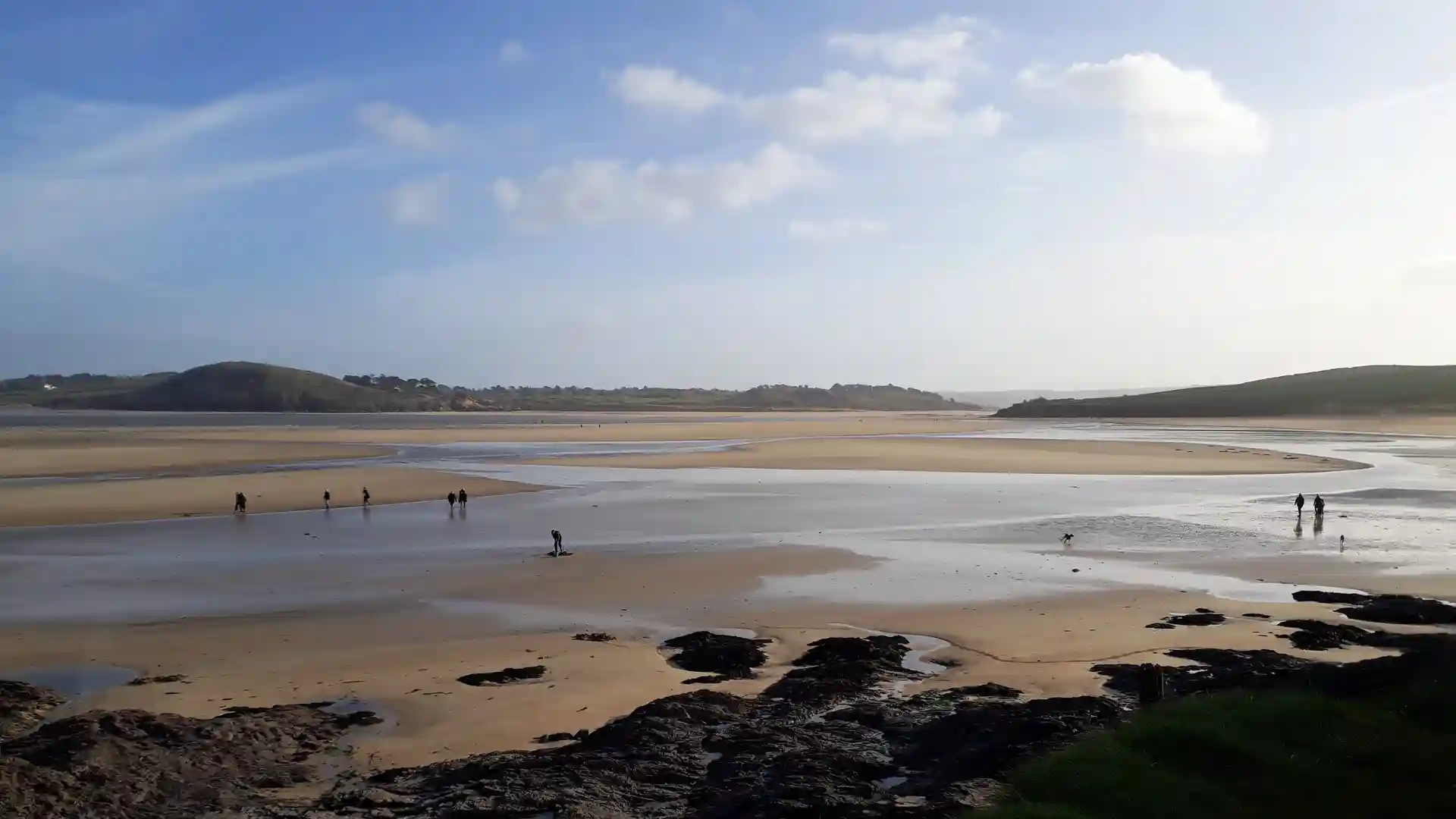
Leaving the Camel Estuary at Padstow, the path turns quickly away from the coast into enclosed countryside. Fields, hedgerows, and quiet lanes shape much of the walking, with streams cutting through small valleys and woodland gathering along the water. Progress feels steady and grounded, guided by the lie of the land rather than dramatic elevation.
Granite rises occasionally above the surrounding fields. Low tors and open ground offer wider views across mid-Cornwall before the route drops again toward villages and churchyards. Ancient crosses, chapels, and earthworks appear at intervals, marking the long history of movement across this landscape.
Towns such as Lanivet and Lostwithiel provide natural pauses along the way, their streets and bridges forming part of the route itself. The final miles follow the wooded Fowey Valley, where the river broadens into tidal water and the walk returns gradually to the sea.
Farmland, stone, and estuary shape this short coast-to-coast crossing — a quiet inland journey that links Cornwall’s shores through its historic centre.
Trail Overview
Distance
Approx. 30 miles / 48 km
Typical time on foot
2–3 days
Start
Padstow, North Cornwall
Finish
Fowey, South Cornwall
Terrain
Farmland paths, woodland tracks, low hills, river valleys, villages, and estuary approaches
Waymarking
Green Celtic cross symbols
