
Saints’ Way
An ancient path between Cornwall's north and south coasts.
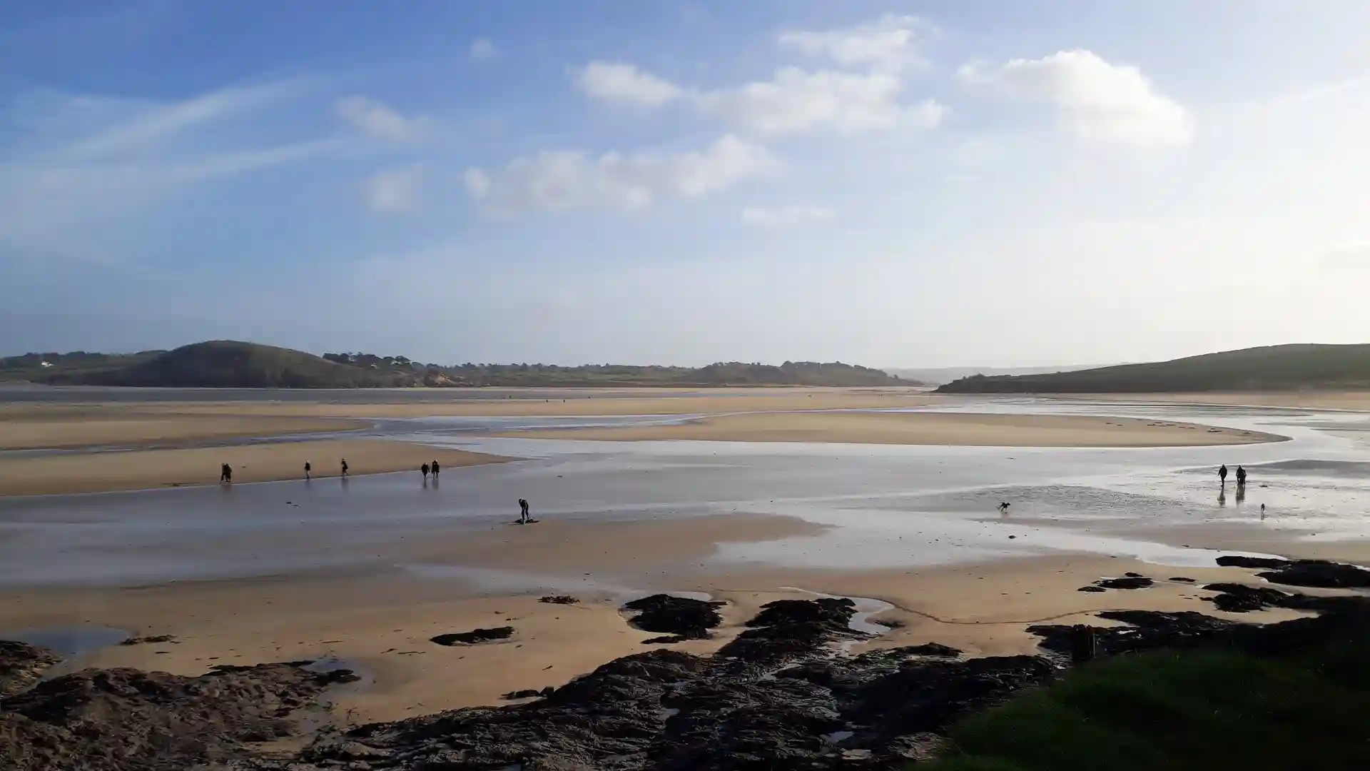
The Saints' Way is a long-distance route running from Padstow on Cornwall's north coast to Fowey on the south coast. Following historic pilgrimage paths and trading routes, it provides a direct coast-to-coast crossing through the heart of Cornwall, linking estuaries, farmland, woodland, villages, and low granite hills through a journey shaped by history and landscape.
As a self-guided journey, the route connects places such as Padstow, Lanivet, Lostwithiel, and Fowey while passing through quiet countryside, wooded valleys, ancient church sites, and historic settlements. Farm tracks, field paths, woodland trails, and quiet lanes create a route defined by gentle terrain and a strong sense of continuity between Cornwall's two coastlines.
The character of the route changes gradually as it moves south. The open waters of the Camel Estuary give way to enclosed farmland and hedgerow-lined countryside, before the trail reaches the low granite landscapes of central Cornwall. Further south, wooded river valleys and historic settlements lead towards the tidal waters of the Fowey Estuary and the sea beyond.
History remains a defining feature throughout the journey. Ancient crosses, chapels, and long-established routes reflect centuries of travel across Cornwall, when crossing the peninsula overland offered an alternative to the hazardous journey around Land's End by sea.
With manageable distances, modest elevation, and a mixture of rural landscapes and historic interest, the Saints' Way offers one of Cornwall's most distinctive short long-distance walks. The trail combines heritage, countryside, and coast-to-coast travel into a rewarding journey across the county.
Overview
Distance 30 miles / 48 km
Duration 2–3 days
Difficulty Easy-going
Start Padstow, Cornwall
Finish Fowey, Cornwall
Terrain Farmland paths, woodland tracks, low hills, river valleys, villages, and estuary approaches
Waymarking Green Celtic cross symbols
