
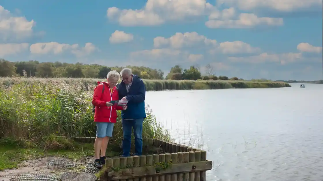
Exploring the Norfolk Broads
The Norfolk Broads are shaped by a network of rivers, shallow lakes, reedbeds, grazing marshes and waterside villages. Stretching across eastern Norfolk, the landscape forms part of The Broads National Park and provides one of the most distinctive wetland environments in the East of England.
Large expanses of water including Hickling Broad, Barton Broad and Wroxham Broad sit alongside quieter rivers, marshes and nature reserves. Reedbeds, wet woodland and grazing marsh provide important habitats for wildlife, while paths and waterside routes offer opportunities to experience the landscape away from the busier centres.
Walking routes cross much of the area. The Weavers' Way links Cromer with Great Yarmouth through the northern Broads, while the Wherryman's Way follows the River Yare between Norwich and Great Yarmouth. The Angles Way explores another side of the landscape as it follows rivers and wetlands through the eastern Broads.
Villages, historic churches, windpumps and waterside settlements are scattered throughout the landscape, reflecting the long relationship between people and the waterways. Places such as Wroxham, Horning and Reedham provide useful starting points for exploring different parts of the Broads on foot.
Check availability
Select your dates to check current availability and prices.