From Winchester onto the South Downs
The South Downs Way begins in Winchester and heads east through the chalk landscape of the South Downs National Park towards Eastbourne.
Leaving the city, the route climbs onto the Downs and begins following the ridges and open countryside that characterise much of the trail.
Ancient tracks, farmland and chalk grassland occur throughout this western section as the route progresses across Hampshire towards Sussex.
Following the chalk ridge
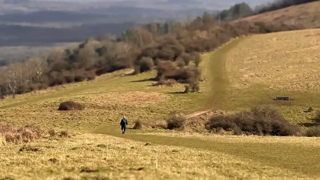
Much of the South Downs Way follows higher ground across the chalk hills of southern England.
The underlying chalk has shaped a landscape of rounded hills, dry valleys, grassland and farmland, with extensive views from many of the higher sections.
Although the route repeatedly descends into valleys and crosses lower ground, it regularly returns to the ridge as it continues east.
Across the central South Downs
Through the central section of the National Park, the trail crosses a predominantly rural landscape of farmland, chalk grassland and scattered woodland.
Settlements generally lie below or close to the ridge, while the trail itself frequently remains on higher ground.
Historic tracks and paths form part of the route, reflecting the long history of travel across the Downs.
Towards Lewes and Alfriston
Further east, the South Downs Way continues towards Lewes, crossing the River Ouse before returning to higher ground.
The trail then progresses through the eastern Downs towards Alfriston, a historic village beside the River Cuckmere.
Around the Cuckmere Valley, the landscape begins its transition from the inland chalk hills towards the coast.
From the Cuckmere Valley to the sea
Beyond Alfriston, the route reaches the lower Cuckmere Valley before climbing towards the coast.
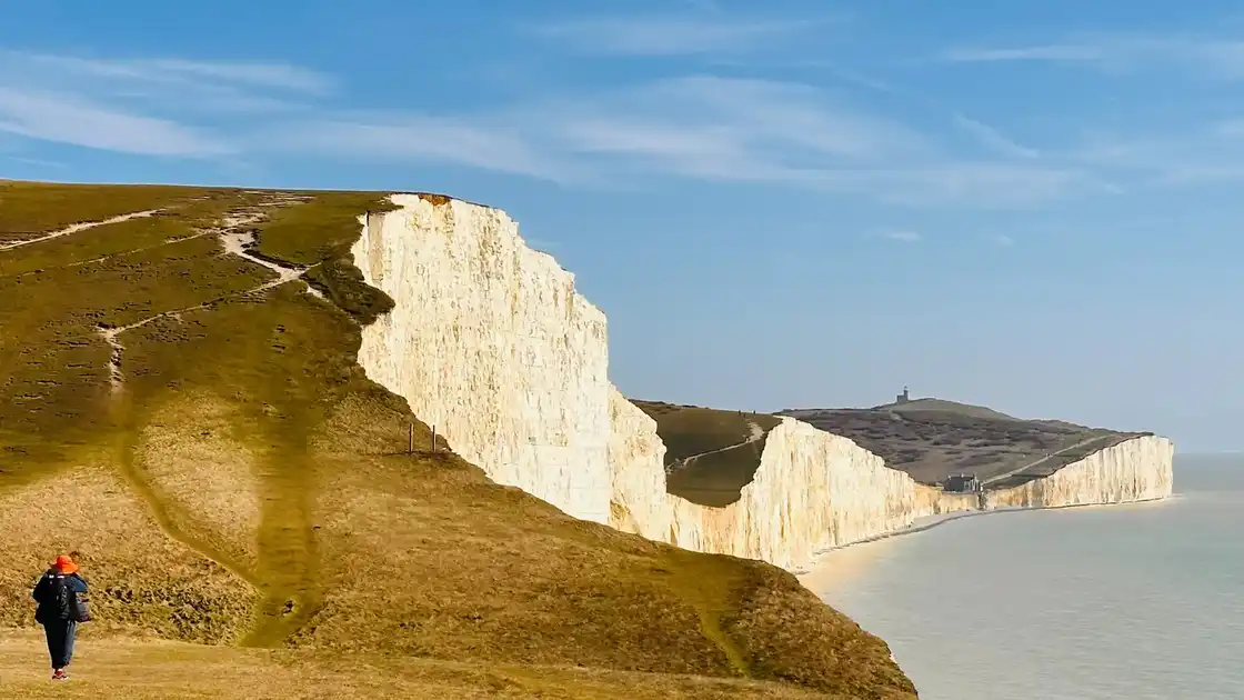
The trail crosses the Seven Sisters, where a succession of chalk cliffs and valleys follows the shoreline between Cuckmere Haven and Birling Gap.
This section brings the chalk landscape followed from Winchester directly to the English Channel.
Beachy Head and Eastbourne
East of the Seven Sisters, the South Downs Way continues across the high chalk cliffs towards Beachy Head.
The route then descends towards Eastbourne, marking the eastern end of the trail.
The coastal landscape of the final section contrasts with the predominantly inland ridges crossed during much of the route, while remaining part of the same underlying chalk formation.
Walking from Winchester to Eastbourne
The complete South Downs Way covers approximately 100 miles between Winchester and Eastbourne.
The route is predominantly undulating, with repeated climbs and descents as it moves between ridges, valleys and river crossings.
Walking surfaces include chalk and grass paths, field tracks, woodland sections, lanes and paths through settlements.