
The Norfolk Coast National Landscape — Seals, Skies, and Wild Places
Self Guided Travel – Moments in Time
The Norfolk Coast National Landscape is one of England’s most ecologically rich and visually dramatic stretches of coastline — a place where saltmarsh, shingle, dunes, and wide tidal skies create a constantly shifting edge between land and sea. It is also one of the finest places in the country to experience wildlife as part of a walking journey, with the Norfolk Coast Path threading directly through some of the most important nature reserves in the East of England.
Two quiet moments captured recently along this coast as part of Self Guided Travel’s editorial fieldwork tell that story perfectly.
Seals at High Tide — Cley Beach, Norfolk Coast Path
Filmed at high tide along Cley Beach, this sequence follows a single large grey seal that had come ashore to rest, playing quietly at the water’s edge for hours. Later, a younger seal — possibly with its mother — moves slowly along the tideline, surfacing and diving beneath the surface as it travels.
The seals are highly aware of people walking the beach, often following quietly up or down the shoreline, lifting their heads briefly from the water to watch before slipping back beneath the surface. There is no sense of performance here — just shared space between wildlife and walkers, unfolding naturally along the Norfolk Coast Path.
Where Land Meets Migration Routes and Tides
What makes the Norfolk Coast National Landscape so special is not just its scale, but its layering. The coastline is shaped by:
- Vast saltmarshes that flood and drain with the tides
- Reedbeds that shelter migrating birds travelling between Europe and Africa
- Dune systems that constantly shift with wind and sand
- Shingle spits that stretch into the North Sea
- Quiet inland grazing marshes shaped by centuries of water management
All of this sits directly alongside the Norfolk Coast Path, meaning walkers move through one of Britain’s richest wildlife corridors step by step — not as spectators, but as part of the landscape itself.
Marsh Harrier Over Reedbeds — Cley-next-the-Sea
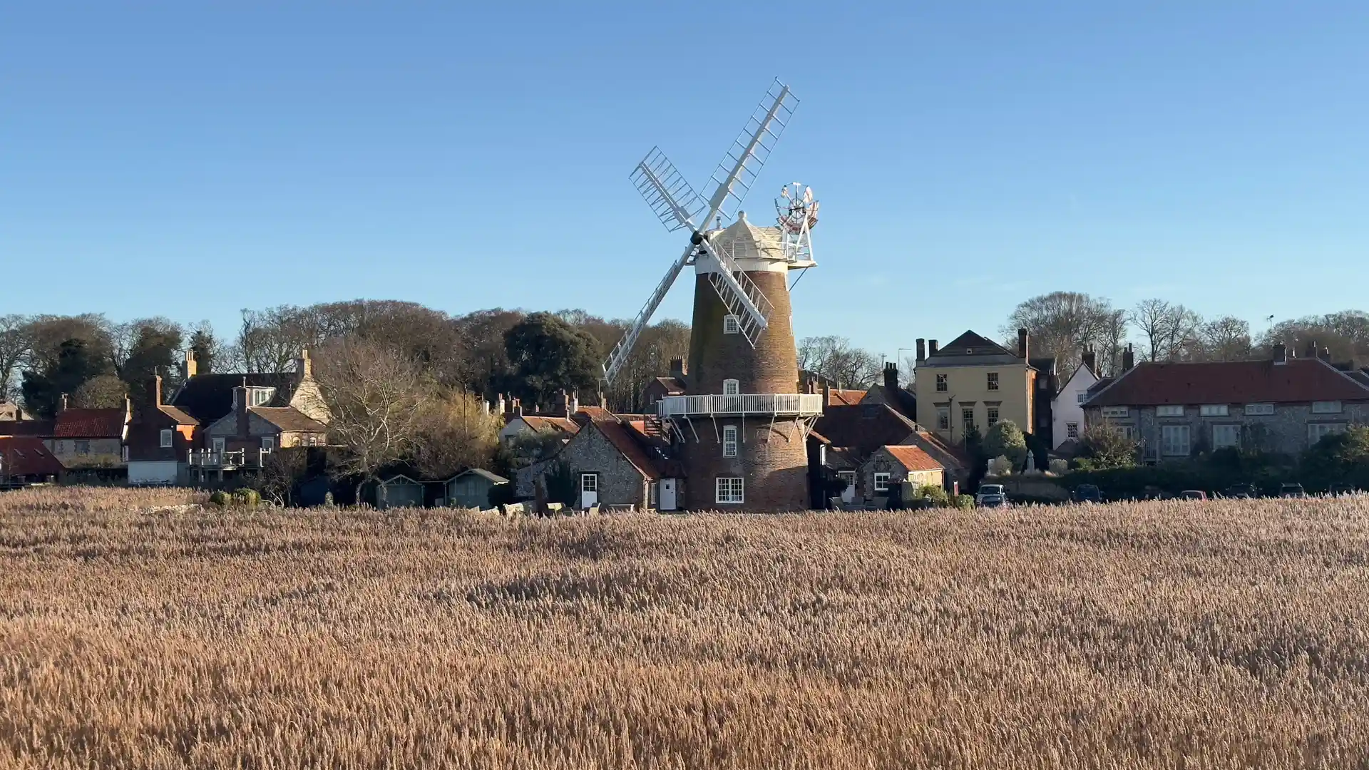
A marsh harrier flying low and hunting over the tall reeds at the quiet edge of Cley-next-the-Sea, where village and marsh meet.
Filmed at the edge of the village, the bird moves steadily over the reedbeds, scanning for prey before drifting out across the wider marsh. The houses remain still behind the reeds, while the wetland continues its daily rhythm just beyond the settlement.
Wild Places Along This Stretch of Coast
As part of our new Nature Reserves & Wild Places index, we have begun formally mapping and listing the protected landscapes that shape this coast. These sites now sit directly within the wider structure of the search engine — connected to trails, destinations, and the Norfolk Coast National Landscape itself.
Cley Marshes Nature Reserve — Norfolk Wildlife Trust
Location: Cley-next-the-Sea
Route: Norfolk Coast Path
A flagship coastal wetland of reedbeds, lagoons, and saltmarsh, Cley Marshes is one of the most important bird reserves in the country. It lies directly beside the coastal path and is one of the finest places to witness migration, wintering flocks, and the shifting light across the marshes.
Blakeney Point Nature Reserve — National Trust
Location: Blakeney / Morston
Route: Norfolk Coast Path
A vast shingle spit and dune system projecting into the North Sea, Blakeney Point is one of England’s most famous seal breeding and haul-out sites. Grey seals are present year-round, and the walking here feels almost Arctic in its exposure and scale.
Further Along the Norfolk Coast Path
RSPB – Titchwell Marsh Nature Reserve
Location: Titchwell
Route: Norfolk Coast Path
A world-class wetland of freshwater lagoons, reedbeds, beach and saltmarsh. Titchwell is internationally important for birdlife and a key northern anchor point for nature exploration along the coast.
Holme Dunes — Norfolk Wildlife Trust
Location: Holme-next-the-Sea
Route: Peddars Way & Norfolk Coast Path
Where the ancient Peddars Way meets the sea, Holme Dunes forms one of the wildest transition zones between woodland, grazing marsh, dunes and tidal flats. It is one of the most atmospheric joining points of inland and coastal walking in the UK.
Wildlife as Part of the Walking Experience
What makes this coastline so powerful is that wildlife is not something you “visit” in isolation — it unfolds alongside the journey itself.
At Cley, seals move through the shallows while harriers, kites, and buzzards quarter the reedbeds. At Blakeney, seals haul out onto the shingle within sight of the path. At Holme, dunes roll straight into saltmarsh and tidal creeks. The walker becomes a quiet thread moving through these habitats rather than an observer standing apart from them.
This is the heart of what Self Guided Travel is mapping — not only places, but the living connections between landscape, wildlife, and slow movement across the land.
The Norfolk Coast as a Living National Landscape
The Norfolk Coast National Landscape is not a museum landscape. It is working, breathing, and constantly shifting — shaped by tides, migration, grazing marsh, fishing harbours, tourism, conservation, and weather. The tension between protection and movement is what gives it its richness.
By indexing these wild places alongside trails, villages, and destinations, the aim is simple:
to make it easier for people to discover and move through real landscapes with clarity and respect.
Looking Ahead
Over the coming months, the Nature Reserves & Wild Places index will continue to grow across:
- The Norfolk Coast
- The Suffolk Coast & Heaths
- River valleys, wetlands, and uplands linked to National Trails and major walking routes
Each will sit naturally within the wider structure of Self Guided Travel — alongside landscapes, paths, destinations, and independent businesses rooted in place.
Edited by James Stringer, Chief Editor, Self Guided Travel.