
Reaching the Norfolk coast by rail
There is no railway running along the north Norfolk coast itself, so reaching much of the Norfolk Coast National Landscape by public transport usually involves combining rail and bus travel.
For the western coast, King’s Lynn is an important gateway.
Direct trains connect King’s Lynn with London King’s Cross via Cambridge and Ely, while connections from elsewhere can be made through the wider rail network.
From King’s Lynn, buses and taxis provide onward connections towards Hunstanton and the villages along the western Norfolk Coast.
Further east, rail connections through Sheringham, Cromer and Norwich provide other ways of reaching the coast, making it possible to plan journeys that do not need to begin and end in the same place.
From King’s Lynn to the western Norfolk coast
Bus services connect King’s Lynn with Hunstanton and continue along parts of the coast.
This provides access to places including Old Hunstanton, Holme-next-the-Sea, Thornham, Brancaster and Burnham Deepdale.
Many of these settlements lie directly on or close to the Norfolk Coast Path, making the combination of train, bus and walking particularly useful for people exploring the coast on foot.
Public transport also makes it possible to arrive and leave at different points, opening up more options for linear walks along the coast.
Walking between places
One advantage of travelling without a car is that a walk does not necessarily need to return to where it started.
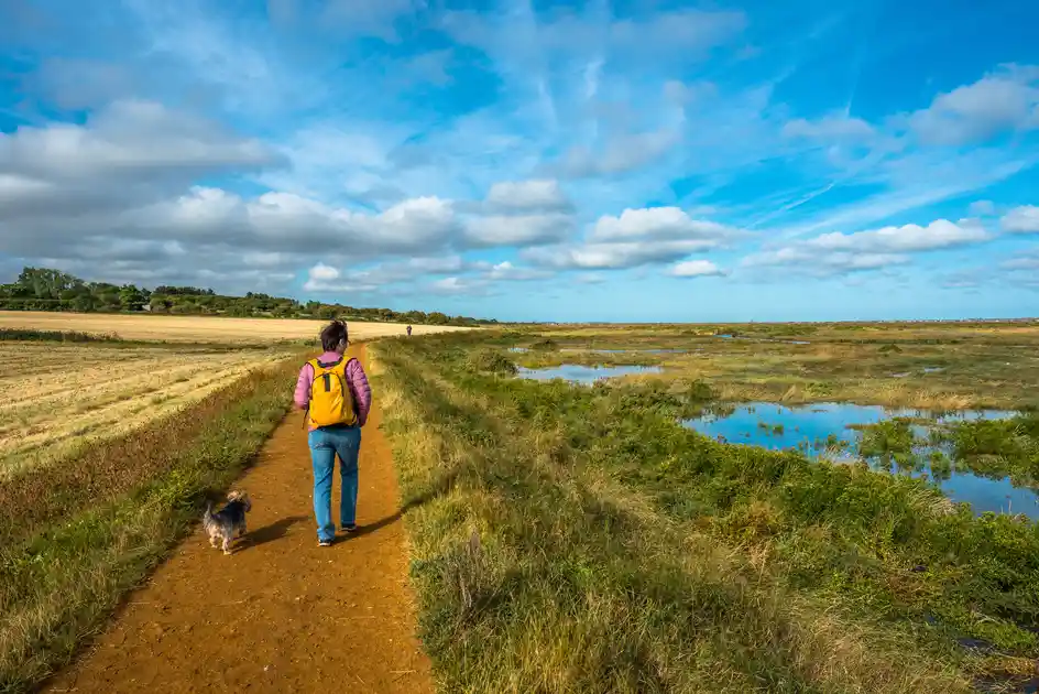
The Norfolk Coast Path provides a continuous walking route through much of the landscape, connecting villages, nature reserves, beaches, dunes and saltmarshes.
A traveller might arrive by bus in one village, walk along the coast and continue their journey from another.
For longer journeys, accommodation along the route makes it possible to move gradually through the landscape over several days.
Connecting the Norfolk Coast Path and Peddars Way
The public transport network is particularly useful for walkers following the area's long-distance trails.
The Peddars Way approaches the coast from inland Norfolk and reaches Holme-next-the-Sea, where it connects with the Norfolk Coast Path.
This creates opportunities to combine inland and coastal walking while using public transport at different points rather than returning to a parked car.
The same principle works for shorter sections of either trail.
Letting public transport shape the journey
Travelling without a car sometimes requires more planning, particularly in rural areas where services may be less frequent.
But it can also change the shape of a journey.
Instead of choosing walks according to where a car has been left, routes can be planned around railway stations, bus connections, overnight stays and the places you want to explore.
For a landscape crossed by long-distance trails and a chain of coastal settlements, that can be a particularly useful way to experience the Norfolk coast independently.
.webp)