Peddars Way Field Guide
A printed companion for planning and walking the Peddars Way across Norfolk’s Roman road landscape.

This field guide supports self-guided travel along the Peddars Way, tracing the Roman road from Knettishall Heath to Holme-next-the-Sea across Breckland heathland, historic sites, and quiet rural landscapes.
What this guide provides
• Stage-by-stage route clarity
• Places to stay along the route
• Landscape and historical context
• Transport and planning notes
• Field observations and photography
The route and landscape
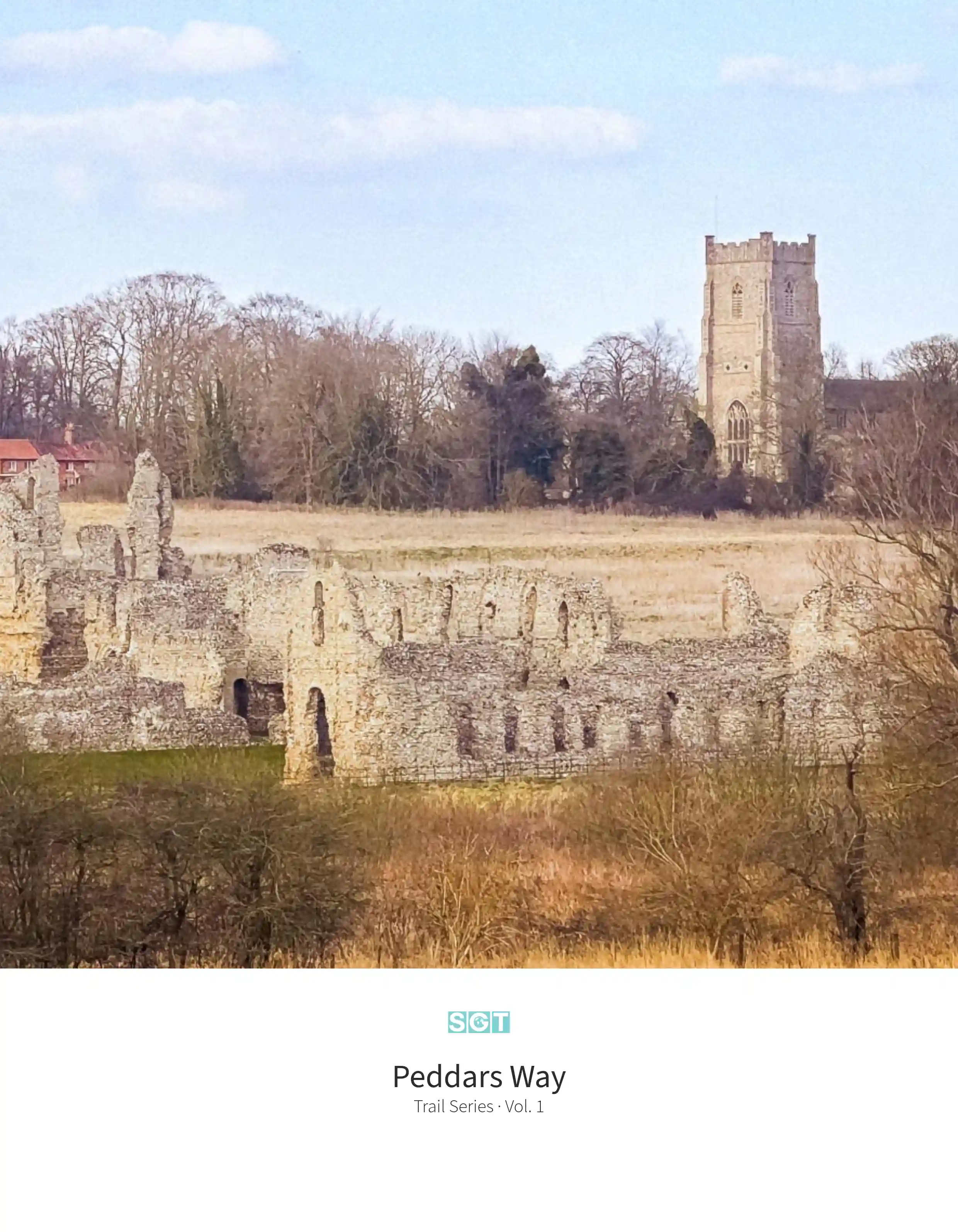
The Peddars Way follows a straight Roman road through the Breckland landscape of West Norfolk. Open heathland, pine forest, and quiet farmland shape the route as it passes sites such as Castle Acre Priory before reaching the coast near Holme-next-the-Sea and the Norfolk Coast Path.
Places to stay along the route
The guide highlights independent inns, guesthouses, and village accommodation located at practical stopping points along the trail, helping walkers plan overnight stages with confidence.
Guide details
Format: 210 × 270 mm
Length: 60 pages
Paper: 170gsm recycled silk
Printed in the UK
Designed for field use
About the Peddars Way
Explore the trail, route overview, and landscape context.
Delivery
Orders are dispatched from the UK.
Delivery typically takes 2–4 working days.
First edition print run
Vol. 1 — Trail Series
Designed to be used on the trail and kept as a lasting record of the journey.