From Exmoor’s high moors to Dartmoor’s granite skyline
The Two Moors Way is a long-distance self-guided travel route linking walking routes, landscapes, and places across Devon, connecting Exmoor National Park in the north with Dartmoor National Park in the south. Beginning near Lynmouth on the Bristol Channel and finishing at Plymouth, the path crosses open moorland, wooded valleys, farmland, and long-settled towns in a continuous line through the centre of the county.
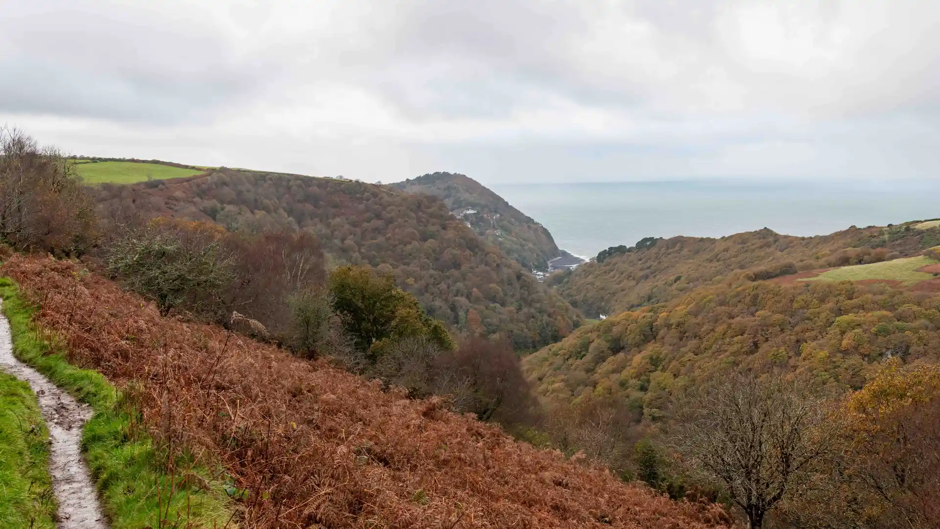
High ground opens into wide, open views across heather and grass before dropping into wooded combes where streams run through steep-sided valleys. Paths follow ridgelines and river courses, climbing onto exposed moor before easing into fields, lanes, and hedged tracks.
Exmoor feels broad and windswept, its slopes cut by deep valleys and scattered hamlets. Mid-Devon softens into pasture and farmland, where villages appear at regular intervals. Further south, the land rises again onto Dartmoor, where granite tors and open plateaux dominate the skyline and paths cross stone-strewn ground between rivers and bog.
Towns such as Withypool, Chagford, and Ivybridge sit naturally along the route, gathering around bridges, greens, and old streets. These places form steady pauses between longer stretches of open country.
Moor, valley, stone, and pasture shape this inland crossing, where the walk follows the grain of the land rather than the coastline.
Trail Overview
Distance
Approx. 117 miles / 188 km
Typical time on foot
9–12 days
Start
Lynmouth, North Devon
Finish
Plymouth, South Devon
Terrain
Moorland ridges, granite uplands, river valleys, farmland paths, woodland tracks, and market towns
Waymarking
White cross on black background
