
Walk St Cuthbert's Way
St Cuthbert's Way is a 62.5-mile / 100 km long-distance trail from Melrose in the Scottish Borders to Holy Island on the Northumberland coast. Inspired by the life of St Cuthbert, the route crosses the border between Scotland and England through river valleys, farmland, the Cheviot Hills and the coastal landscapes around Lindisfarne.
The trail begins at Melrose Abbey, where Cuthbert began his religious life in the 7th century. From Melrose, the route climbs into the Eildon Hills, with views across the surrounding Borders countryside, before descending towards the River Tweed and continuing through St Boswells.
Following the Tweed through farmland and woodland, St Cuthbert's Way reaches Maxton before turning south-east towards Morebattle. Beyond the village, the route climbs over Wideopen Hill and continues through the rolling border countryside towards Kirk Yetholm, where it meets the Pennine Way.
From Kirk Yetholm, the trail crosses the Scotland-England border and enters Northumberland National Park. The route passes through the northern Cheviot Hills and the remote landscapes of the College Valley, with open moorland, rounded hills and secluded valleys defining one of the wildest sections of the journey. St Cuthbert's Way is one of the established long-distance routes crossing the National Park.
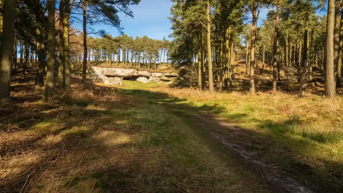
Beyond the Cheviots, the trail descends towards Wooler, a historic market town and gateway to the surrounding hills. From Wooler, the route crosses lower countryside and the sandstone landscapes of north Northumberland towards St Cuthbert's Cave, traditionally associated with the monks of Lindisfarne and their journey carrying Cuthbert's body away from Viking raids.
The trail then continues east towards the Northumberland coast, entering the Northumberland Coast National Landscape as it approaches the tidal flats surrounding Holy Island. Views open across the coast towards Lindisfarne before the route reaches the final and most distinctive part of the journey.
The last section crosses to Holy Island, also known as Lindisfarne, following the tidal approach across the sands. The crossing can only be made safely outside the published high-tide periods. On the island, the route reaches Lindisfarne Priory, founded in the 7th century and closely associated with St Cuthbert, completing the journey from Melrose to one of the most important early Christian sites in Britain.
Overview
Distance: 62.5 miles / 100 km
Typical duration: 4–6 walking days
Difficulty: Moderate
Start: Melrose
Finish: Holy Island (Lindisfarne)
Terrain: Riverside paths, farmland, woodland, moorland, hill paths, sandstone country, coastal paths and tidal sands
Check availability
Select your dates to check current availability and prices.