
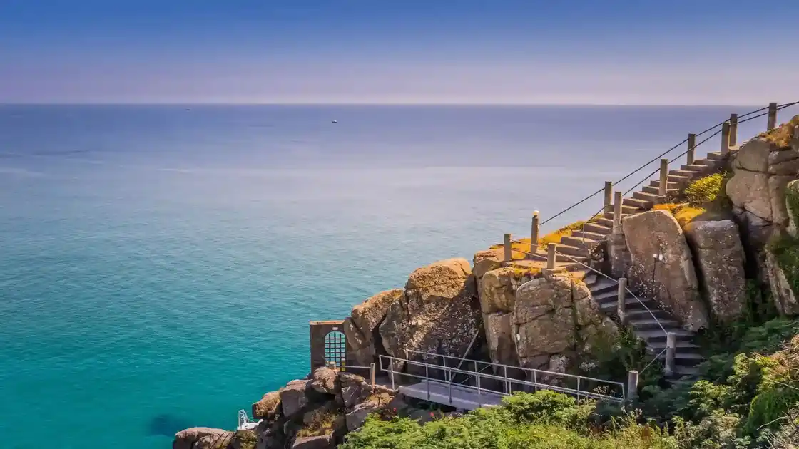
Walk the South West Coast Path through Cornwall
The Cornwall section of the South West Coast Path follows the coast from Bude to Cremyll on the River Tamar, tracing Cornwall's Atlantic and English Channel coasts around the westernmost part of the South West peninsula. Much of the route passes through the Cornwall National Landscape, linking cliffs, beaches, headlands, estuaries, fishing villages and harbour towns along one of the longest sections of the complete trail.
From Bude, the path heads south along the north Cornwall coast towards Boscastle and Tintagel. This northern stretch is characterised by steep coastal valleys, exposed cliffs and small settlements, with Tintagel Castle occupying a prominent headland above the sea. The route continues through Port Isaac before reaching the Camel Estuary and Padstow.
Beyond Padstow, the trail follows the coast around a succession of beaches and headlands towards Newquay before continuing west towards St Ives. Long sandy bays alternate with rocky cliffs and smaller coves, while exposed stretches of coast provide extensive views across the Atlantic.
From St Ives, the route enters a more rugged western section as it continues around the Penwith peninsula. The path passes Zennor and follows the coast towards Land's End before turning east towards Penzance. This part of Cornwall combines granite cliffs, maritime heathland, small coves and former mining landscapes associated with the Cornwall and West Devon Mining Landscape.
Beyond Penzance, the trail continues around Mount's Bay and towards the Lizard Peninsula. The route passes around Lizard Point, the southernmost point of mainland Britain, before following the coast towards Falmouth. Cliffs and open headlands give way periodically to sheltered coves, fishing villages and river estuaries.
East of Falmouth, the path continues through the south Cornwall coast towards Mevagissey, Fowey and Looe. The landscape becomes increasingly defined by wooded estuaries, harbour towns, coves and headlands as the route approaches the River Tamar.
The section finishes at Cremyll, overlooking Plymouth Sound across the Tamar. From here, the South West Coast Path continues through South Devon towards the English Riviera, the South Hams and the eastern sections of the complete trail.
Across Cornwall, destinations including Bude, Padstow, St Ives, Penzance, Falmouth, Fowey and Looe provide useful bases for exploring individual stretches of the coast and natural stopping points for walkers following the longer route.
Overview
Distance: 293 miles / 471 km
Typical duration: 18–24 walking days
Difficulty: Challenging
Start: Bude, Cornwall
Finish: Cremyll, Cornwall
Terrain: Clifftop paths, frequent steep ascents and descents, beaches, rocky coves, exposed headlands, estuaries and harbour towns
Waymarking: National Trail acorn symbols throughout
EXPLORE THE SOUTH WEST COAST PATH
Continue Exploring the South West Coast Path
Explore the complete South West Coast Path from Minehead to Poole Harbour, or discover another section of the 630-mile trail.
South West Coast Path
Explore the complete 630-mile National Trail from Minehead to Poole Harbour.
South West Coast Path Somerset & Exmoor Section
Explore the opening section from Minehead through Somerset and Exmoor to Combe Martin.
South West Coast Path North Devon Section
Follow the North Devon coast from Combe Martin to Bude through beaches, dunes, harbour towns and Atlantic landscapes.
South West Coast Path South Devon Section
Continue from the River Tamar along the South Devon coast, through estuaries, harbour towns, beaches and coastal landscapes.
South West Coast Path Dorset & Jurassic Coast Section
Follow the South West Coast Path through Dorset and along the Jurassic Coast towards Poole Harbour.
Check availability
Select your dates to check current availability and prices.