
South West Coast Path (North Devon Section)
Clifftop paths, surf beaches, and deep combes along Devon’s Atlantic edge
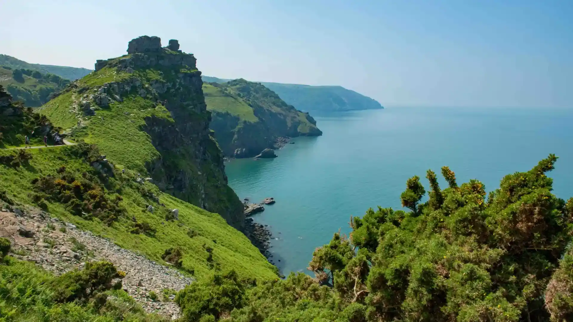
This section of the South West Coast Path is a long-distance self-guided travel route linking walking routes, landscapes, and places between Combe Martin and Hartland Quay on the Cornwall border. Following the Atlantic shoreline through North Devon, the trail crosses high cliffs, wide beaches, estuaries, and working harbours, forming one of the most varied and physically demanding stretches of England’s longest National Trail.
Walking here is defined by repetition and effort. Narrow clifftop paths rise and fall constantly above the sea, dropping steeply into wooded combes before climbing again onto exposed headlands. Progress feels measured by the shape of the coastline rather than distance alone, with each bay and valley bringing another change in terrain.
The landscape alternates between open and sheltered. High ridges offer wide views across the Atlantic, while deep valleys cut inland toward small villages and river mouths. Long beaches at Woolacombe, Croyde, and Saunton create rare level stretches before the trail returns to steep ground.
Settlements appear at intervals along the route. Harbours such as Ilfracombe, Bideford, and Clovelly provide natural pauses between remote sections, their steep streets and maritime histories closely tied to the surrounding coast. Further inland, the Taw and Torridge estuaries bring wider skies and calmer walking.
The appeal of this section lies in its scale and exposure — a coastline shaped by Atlantic weather, geology, and time, where the path feels both rugged and deeply connected to the sea.
Trail Overview
Distance
Approx. 90 miles / 145 km
Typical time on foot
6–10 days
Start
Combe Martin, Devon
Finish
Hartland Quay, Cornwall border
Terrain
Steep clifftop paths, sandy beaches, estuaries, wooded valleys, and harbour towns
Waymarking
National Trail acorn symbols throughout
