
Walk Hadrian's Wall Path
Hadrian's Wall Path crosses northern England from Bowness-on-Solway on the Solway Firth to Wallsend beside the River Tyne, following the landscape of Hadrian's Wall for much of its 84-mile route. The National Trail connects Roman sites, open countryside, upland ridges, villages and towns between the Solway Firth and Tyneside.
From Bowness-on-Solway, the trail follows the Solway coast and surrounding countryside east towards Carlisle. Saltmarshes, farmland and the broad landscapes around the Solway Firth characterise the western stages before the route reaches the historic city of Carlisle.
East of Carlisle, the trail begins to follow the line of Hadrian's Wall more closely through Cumbria and Northumberland. Roman forts, milecastles and sections of surviving wall become increasingly prominent as the route approaches the central part of the trail.
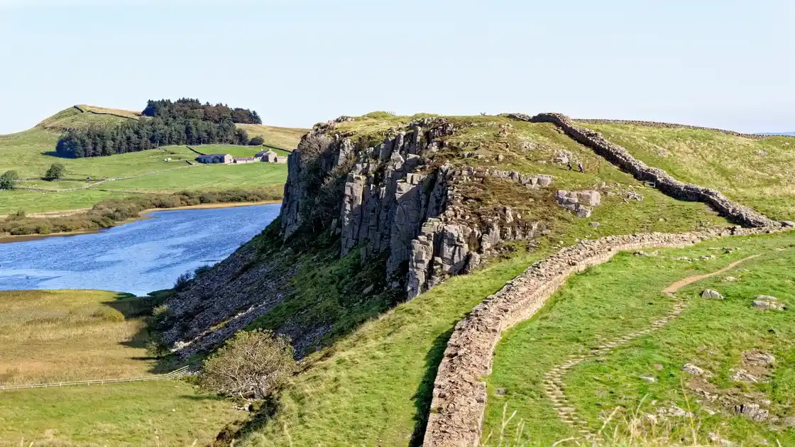
Around Birdoswald, Walltown and Haltwhistle, the landscape becomes more undulating as the trail enters the central section of Hadrian's Wall. The route climbs onto the Whin Sill, where surviving stretches of the wall follow a natural ridge through open upland landscapes.
Around Once Brewed, Steel Rigg and Housesteads, the trail rises and falls across the ridge, passing viewpoints, milecastles and archaeological remains. Housesteads Roman Fort is one of the principal Roman sites along this section of the Hadrian's Wall UNESCO World Heritage Site.
East of Housesteads, the trail descends through the Northumberland countryside towards Chollerford and the Tyne Valley. The landscape gradually becomes lower and more settled as the route continues towards Hexham, although the line of the Roman frontier continues to shape the journey east.
The eastern stages continue through the Tyne Valley towards Newcastle upon Tyne, passing through increasingly urban landscapes before reaching Wallsend. The trail finishes at Segedunum Roman Fort, at the eastern end of Hadrian's Wall and close to the River Tyne.
Carlisle, Haltwhistle, Hexham and Newcastle upon Tyne provide larger bases along or close to the trail, while villages and rural accommodation around the central section provide opportunities for shorter walks and walking breaks. The route can therefore be explored as a complete coast-to-coast walk or through individual stretches centred on the Roman sites and landscapes along the wall.
Overview
Distance: 84 miles / 135 km
Typical duration: 6–8 walking days
Difficulty: Moderate
Start: Bowness-on-Solway, Cumbria
Finish: Wallsend, Tyne and Wear
Terrain: Coastal paths, farmland, field paths, grassy tracks, upland ridges, stone paths, rural lanes and urban paths
Check availability
Select your dates to check current availability and prices.