Mediterranean slopes, high passes, and a sustained climb into the southern Alps
The GR5 from Nice to Briançon traces a northbound line from the Mediterranean into the high landscapes of the southern French Alps, linking walking routes, mountain passes, and small alpine places through a continuous progression in altitude and terrain. For those exploring this region through self-guided travel, the route connects landscapes and places across the Tinée Valley, Mercantour, and the upper borderlands, shaped by elevation, weather, and the practical rhythm of moving between valleys and refuges.
Leaving Nice, the trail climbs quickly away from the coast through wooded hills and terraced slopes before reaching higher ground above the inland valleys. Early stages establish the character of the walk: long ascents, balcony paths that contour across mountainsides, and wide views back towards the sea as the route transitions from coastal foothills to mountain terrain.
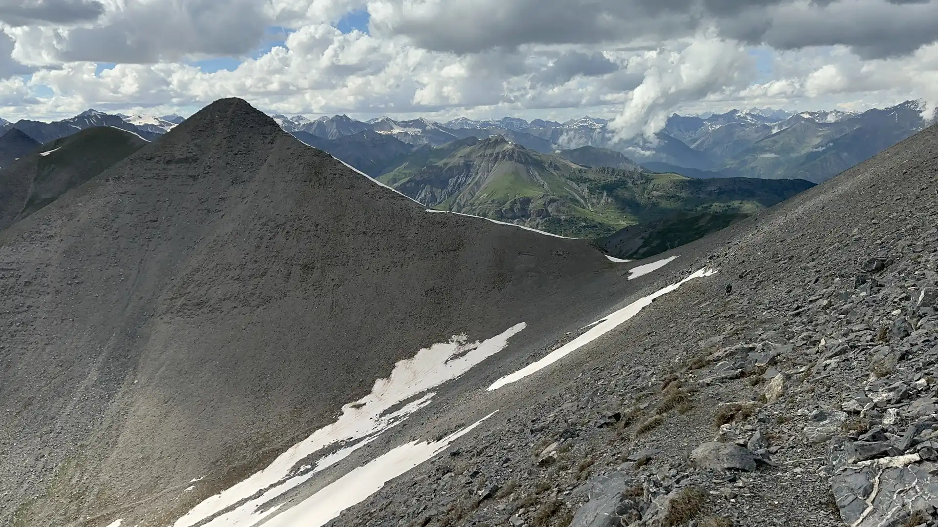
Further inland the GR5 enters Mercantour National Park, where larch forests, open basins, and rocky passes define the landscape. Stages grow longer and more committing, with fewer settlements and more sustained time on high ground. Refuges become part of the route’s structure, and places such as Refuge de Longon sit at key points between cols, offering a natural pause in otherwise exposed terrain.
Beyond Mercantour the trail continues into quieter upper valleys and border country, passing close to remote settlements such as Maljasset, where the scale of the mountains remains large but the landscape feels more pastoral and lived-in. Historic passes and old transhumance lines carry the route north, linking valleys by foot in a way that reflects long-established movement through this region.
As the GR5 approaches Briançon, it enters the broader mountain landscapes of Queyras Regional Natural Park, where villages, high pastures, and long valley lines create a different rhythm — still elevated, but with more frequent signs of settlement and continuity. The route remains a through-line, however, keeping its steady northbound progression towards the fortified town of Briançon.
Briançon acts less as an end point than a natural pause, connecting directly to the onward GR5 route north towards the Mont Blanc region and Geneva. The experience of this section is defined by progression: a gradual climb from sea level to high passes, followed by sustained travel through connected alpine landscapes.
Trail Overview
Distance
Approximately 219 km / 136 miles
Typical time on foot
10-14 Days
Start
Nice, Alpes-Maritimes
Finish
Briançon, Hautes-Alpes
Terrain
Mountain passes, alpine tracks, rocky ridges, forest trails, high pastures, and valley roads
Field Trip: Walking the GR5 from Nice to Briançon
This short film documents a self-guided journey on the GR5 between Nice and Briançon, recorded on the trail itself. It shows the terrain, gradients, and day-to-day walking conditions across the French Alps, supporting the route overview above with real on-ground context.
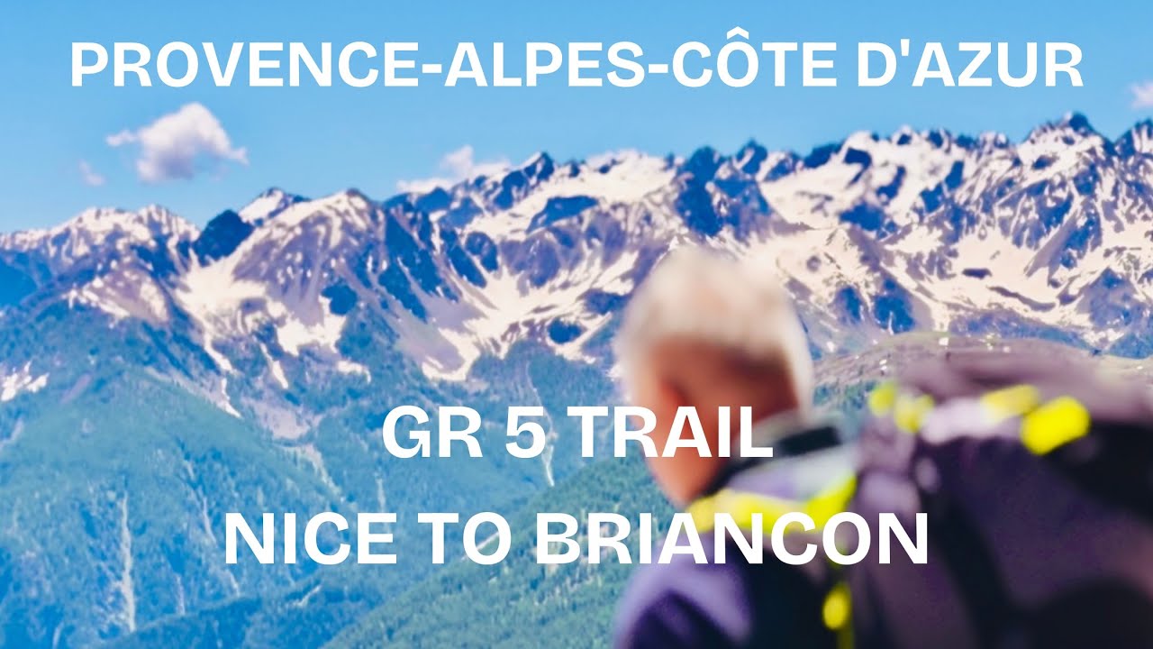
Field footage from the GR5 showing typical trail conditions between Nice and Briançon.
