
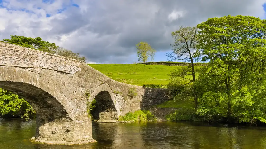
Walk the Dales Way
The Dales Way is an 80-mile / 129 km long-distance trail from Ilkley in West Yorkshire to Bowness-on-Windermere in Cumbria. Following river valleys for much of its length, the route crosses the Yorkshire Dales National Park before continuing through the countryside of Cumbria to the shores of Windermere in the Lake District.
Beginning beside the River Wharfe at Ilkley, the trail follows the river upstream through Addingham towards Bolton Abbey. Beyond the abbey ruins, the route continues beside the Wharfe through the wooded gorge around The Strid before reaching Burnsall and the limestone landscapes of Wharfedale.
From Burnsall, the Dales Way continues through Grassington and into Upper Wharfedale. Riverside paths, limestone fields and drystone walls accompany the route through Kettlewell, Starbotton and Buckden, with the surrounding fells rising increasingly steeply above the valley.
Beyond Buckden and Hubberholme, the route enters the quieter landscapes of Langstrothdale, following the upper River Wharfe through Yockenthwaite and Beckermonds. The trail then climbs towards Cam Fell and the Pennine watershed, the highest and most exposed part of a route that otherwise remains largely within valleys and lower countryside.
Crossing into Cumbria, the Dales Way descends into Dentdale and follows the River Dee through Cowgill towards Dent. Limestone hills and traditional field patterns characterise the valley before the trail continues towards Sedbergh, beneath the rounded slopes of the Howgill Fells.
From Sedbergh, the route follows the River Lune through the countryside of south Cumbria before turning west towards Burneside and Staveley. This section marks the transition from the Yorkshire Dales and Pennine landscapes towards the foothills of the Lake District.
Beyond Staveley, the Dales Way enters the Lake District National Park and the Lake District UNESCO World Heritage Site. The final miles cross rolling Lakeland countryside before descending towards Bowness-on-Windermere, where the trail finishes beside Windermere, England's largest natural lake.
Overview
Distance: 80 miles / 129 km
Typical duration: 6–8 walking days
Difficulty: Moderate
Start: Ilkley
Finish: Bowness-on-Windermere
Terrain: Riverside paths, limestone valleys, farmland, moorland, upland tracks, quiet lanes and rolling Lakeland countryside
Check availability
Select your dates to check current availability and prices.