
Walk the Cotswold Way
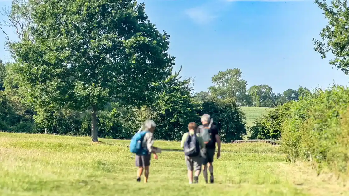
The Cotswold Way is a 102-mile / 164 km National Trail running from Chipping Campden in Gloucestershire to Bath in Somerset. Following the western edge of the Cotswolds National Landscape, the route crosses rolling farmland, woodland and historic settlements while repeatedly returning to the limestone escarpment overlooking the Severn Vale.
Beginning beside the Market Hall in Chipping Campden, the trail climbs towards Dover's Hill before continuing across the northern Cotswolds towards Broadway Tower and descending to Broadway. The route then continues through the escarpment landscape towards Winchcombe, passing close to Hailes Abbey and Sudeley Castle before climbing again towards Belas Knap and Cleeve Hill.
South of Cleeve Hill, the Cotswold Way follows the high ground around Cheltenham before continuing towards Crickley Hill and the wooded escarpment above Gloucester. The route reaches Painswick, where the trail passes through the historic town before crossing Painswick Beacon, Haresfield Beacon and the countryside overlooking the Stroud valleys.
Further south, the trail continues through the landscape around King's Stanley and Dursley, with sections of woodland, farmland and elevated viewpoints along the escarpment. Beyond Dursley, the route passes through the southern Cotswolds towards Wotton-under-Edge, connecting the town with the surrounding hills, woodland and countryside.
From Wotton-under-Edge, the Cotswold Way continues through Hawkesbury Upton, Tormarton and Cold Ashton as it approaches Bath. The landscape gradually changes from the rural Cotswolds to the outskirts of the city before the trail descends into Bath, finishing beside Bath Abbey in the historic centre.
Across its length, the Cotswold Way connects market towns and villages with hilltops, commons, woodland, archaeological sites and historic landmarks. It can be walked from end to end or explored through shorter sections and circular walks using destinations along the route as bases.
Overview
Distance: 102 miles / 164 km
Typical duration: 7–10 walking days
Difficulty: Moderate
Start: Chipping Campden
Finish: Bath
Terrain: Limestone escarpment, rolling farmland, woodland paths, commons, valleys and historic settlements
Check availability
Select your dates to check current availability and prices.