
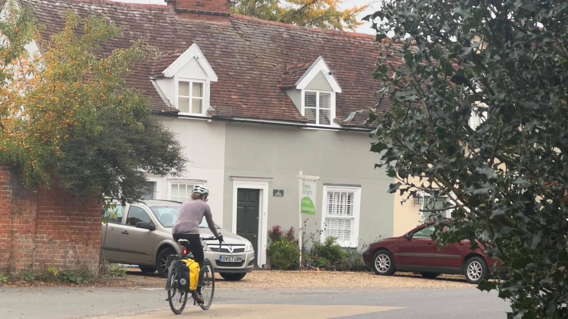
Timbered Villages, River Valleys and Quiet Country Lanes
The South Suffolk Cycle Route is a network of cycling routes through the countryside of southern Suffolk, connecting places including Lavenham, Long Melford, Sudbury, Boxford and Bures through a series of circular loops and quiet country lanes.
Rather than following a single continuous line, the route is made up of interconnected loops that can be ridden individually or combined to explore a wider area. Narrow lanes, hedgerows, open farmland and village streets shape much of the riding, with historic settlements providing natural places to stop along the way.
Much of the network explores the countryside around the Stour and Brett valleys. Towards the south, routes approach Dedham Vale National Landscape, where river meadows, woodland and gently rolling farmland form one of the most distinctive landscapes along the Suffolk and Essex border.
Further east, cycling routes extend towards the Shotley Peninsula and Alton Water, where estuary landscapes and wider views introduce a different character while retaining the network's emphasis on quieter roads and rural places.
The flexible nature of the network makes it suitable for anything from a shorter circular ride to several days of cycling based around one or more of south Suffolk's towns and villages. Routes can be chosen according to distance, location and the places you want to explore rather than requiring the entire network to be completed.
Use our Guides to plan your ride, discover Cycle Breaks based around places along the route, or explore the network as part of a longer self-guided Cycle Journey.
Route Overview
Distance
Individual loops typically 18–40 miles
Loops can be combined for longer rides
Typical riding time
Half-day to full-day rides
Several routes can be combined over multiple days
Start
Routes can be joined from places including Lavenham, Sudbury, Long Melford, Hadleigh, Boxford, Polstead, Bures and the Shotley Peninsula.
Terrain
Quiet roads, narrow country lanes, rolling farmland and river valleys.
Frequently Asked Questions
Where is the South Suffolk Cycle Route?
The network covers the countryside of southern Suffolk around Sudbury, Lavenham, Long Melford, Hadleigh, Boxford and the Stour Valley, with routes extending towards the Shotley Peninsula and Alton Water.
Is the South Suffolk Cycle Route signposted?
Individual routes are signposted in places, but carrying a map or digital route is useful when following and connecting different loops.
What is the riding like?
The routes predominantly use quieter roads and country lanes through gently rolling countryside, with distances varying according to the loop or combination of routes chosen.
Can I explore the route without a car?
Rail connections in and around the area can provide access to parts of the network, although the most suitable station will depend on the particular route being ridden.
Do I have to ride the whole South Suffolk Cycle Route?
No. It is a network of individual and interconnected routes rather than a single point-to-point trail, so rides can be selected and combined according to the area, distance and time available.
Check availability
Select your dates to check current availability and prices.