
Exploring Hertfordshire
Hertfordshire stretches from the chalk hills and woodland of the Chilterns in the west to rolling farmland, river valleys and open countryside across the north and east of the county. Between them are historic towns, villages, woodlands and waterways, creating a varied landscape for walking and independent exploration.
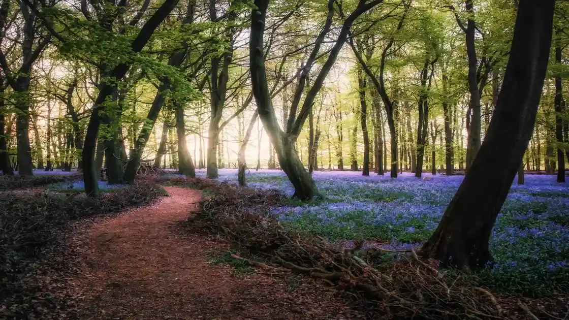
The Chilterns National Landscape extends into western Hertfordshire, protecting a landscape of chalk hills, beech woodland, farmland and valleys that continues across neighbouring Buckinghamshire, Bedfordshire and Oxfordshire. Places around Ashridge form part of this wider chalk landscape, with extensive woodland and countryside providing opportunities for walking across the western edge of the county.
Elsewhere, rivers help shape Hertfordshire's landscape. The River Lea and its tributaries cross the county through countryside and settlements, while the River Ver follows a chalk valley through the area around St Albans. These river corridors, together with woodland and farmland, create a different walking landscape from the chalk hills and wooded countryside of the Chilterns.
The Icknield Way Path crosses northern Hertfordshire as part of its long-distance route from Ivinghoe Beacon to Knettishall Heath. Through the county, the route follows chalk countryside and historic tracks towards Royston, before continuing east into Cambridgeshire and eventually towards Suffolk.
Away from the long-distance trail, Hertfordshire's woodlands, river valleys, historic towns and villages provide opportunities for shorter walks and slower exploration. The chalk landscapes of the Chilterns contrast with the river corridors and farmland elsewhere in the county, creating a varied network of countryside that can be explored on foot.
Check availability
Select your dates to check current availability and prices.