From Chipping Campden into the Cotswolds
The Cotswold Way begins at Chipping Campden in the northern Cotswolds and travels south towards Bath.
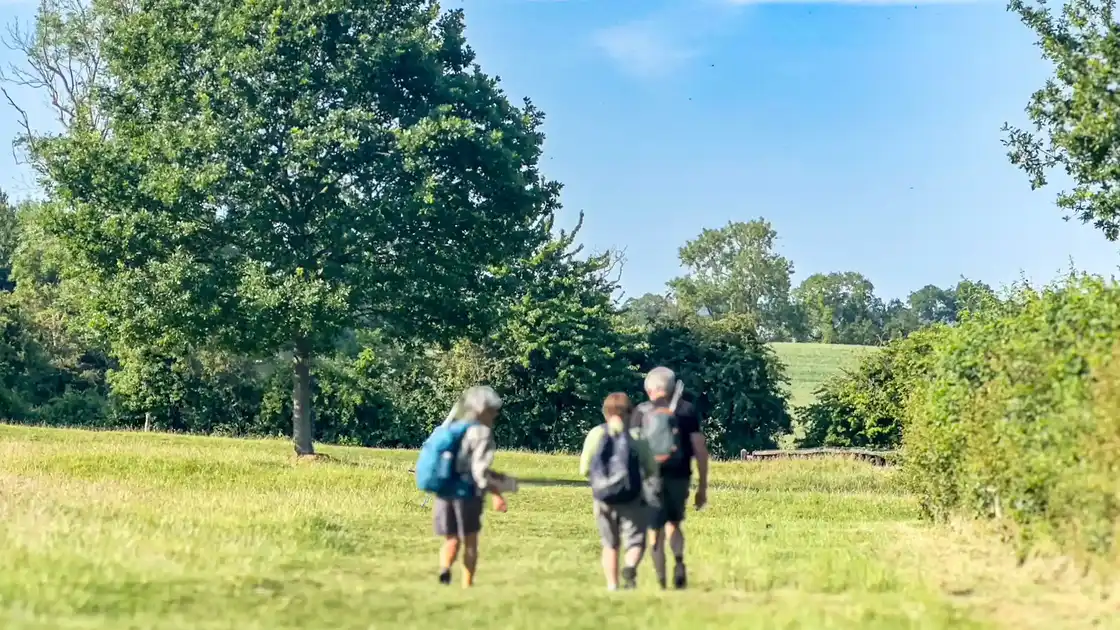
From the market town, the route climbs onto the Cotswold escarpment, passing through farmland and open countryside with views west across the Vale of Evesham and towards the Malvern Hills.
This northern section establishes one of the defining characteristics of the trail, with the route repeatedly following higher ground before descending into valleys and settlements.
Along the Cotswold escarpment
Much of the Cotswold Way follows the western edge of the Cotswolds National Landscape.
The limestone escarpment forms a prominent ridge above the Severn Vale, creating a landscape of grassland, farmland, woodland and steep-sided valleys.
The trail frequently moves between exposed viewpoints and more enclosed woodland, with repeated climbs and descents as it follows the changing line of the escarpment.
Through Winchcombe and the central Cotswolds
The route continues through the countryside around Winchcombe, where historic settlements, farmland and wooded hills form part of the central section of the trail.
Nearby landmarks include Broadway Tower, Hailes Abbey and the Neolithic burial mound at Belas Knap, reflecting the long history of settlement along and around the escarpment.
South of Winchcombe, the trail continues across higher ground towards Cheltenham and the hills overlooking the Severn Vale.
From the hills above Cheltenham to Painswick
Around Cleeve Hill, the Cotswold Way reaches the highest point of the route.
The trail then continues south along the escarpment, passing above Cheltenham before crossing a succession of hills, woodland and open countryside towards Painswick.
This central section includes some of the route's most elevated walking, with extensive views west across Gloucestershire.
Through the southern Cotswolds
Beyond Painswick, the Cotswold Way continues towards the Stroud valleys and the southern part of the Cotswolds.
The route passes through a mixture of woodland, limestone grassland, farmland and historic settlements, including areas around Dursley and Wotton-under-Edge.
Hill forts, ancient monuments and historic estates occur throughout this section, adding another layer to the landscape crossed by the trail.
Approaching Bath
The final sections of the Cotswold Way continue south towards Bath through the countryside of South Gloucestershire.
The route passes through further sections of farmland and woodland before reaching the northern edge of the city.
The trail finishes beside Bath Abbey within the City of Bath UNESCO World Heritage Site, creating a distinctly urban endpoint to a route that begins in the rural northern Cotswolds.
Walking from Chipping Campden to Bath
The complete Cotswold Way covers approximately 102 miles between Chipping Campden and Bath.
Although it does not cross mountainous terrain, the repeated climbs and descents along the escarpment give the route a noticeably undulating profile.
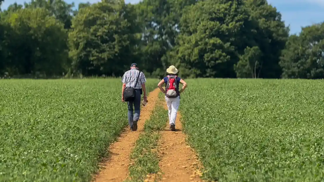
Walking surfaces include grassland paths, woodland tracks, field paths, lanes and sections through towns and villages.