
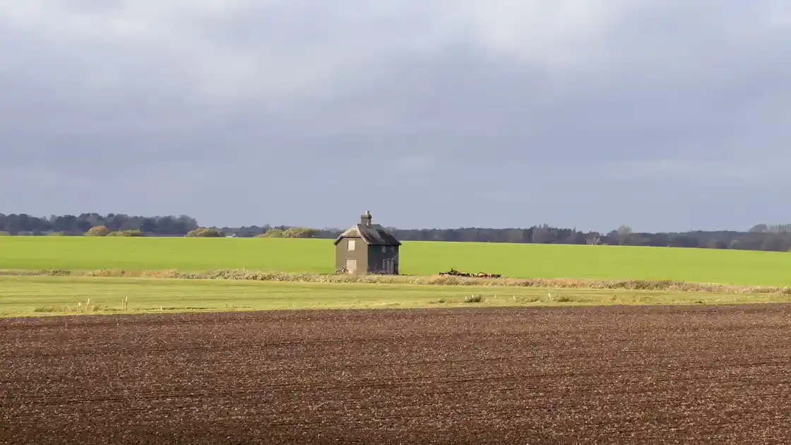
Walking across Suffolk
Suffolk contains a varied network of long-distance trails and local paths extending from the North Sea coast to the river valleys and farmland of the county's interior.
The landscape is predominantly low-lying, but its character changes considerably between the coast, the Stour Valley, the Brecks and the agricultural countryside between them.
Long-distance routes including the Suffolk Coast Path, Stour Valley Path and St Edmund Way provide different ways of crossing these landscapes on foot.
Along the Suffolk coast
The Suffolk Coast Path runs between Felixstowe and Lowestoft, following a varied coastline of estuaries, heathland, marshes, beaches and coastal settlements.
The route passes through the Suffolk & Essex Coast & Heaths National Landscape, including landscapes around the Deben and Alde-Ore estuaries and stretches of the coast around Aldeburgh, Dunwich and Southwold.
Nature reserves, coastal villages and historic settlements lie throughout the route, making the trail one of the principal ways of exploring Suffolk's coast on foot.
Following the Stour Valley
In the south of the county, the Stour Valley Path follows the wider valley of the River Stour towards the Suffolk and Essex border.
The route passes through agricultural countryside, historic villages and Dedham Vale National Landscape before reaching Cattawade near the Stour estuary.
Around Dedham, Flatford and the surrounding valley, riverside paths cross the water meadows and countryside closely associated with John Constable.
Across Suffolk on St Edmund Way
The St Edmund Way provides another long-distance route through the county.
Beginning at Manningtree, the trail passes through the Stour Valley before continuing north through Suffolk towards Bury St Edmunds and Brandon.
Its route connects Dedham Vale with medieval towns, villages, farmland and eventually the sandy landscapes of the Brecks.
Together with the Stour Valley Path, it creates a substantial walking connection between southern Suffolk and the interior of the county.
Heathland, estuaries and river valleys
Suffolk's walking landscape is shaped by several distinctly different environments.
Along the coast, trails cross heathland, saltmarsh, estuaries and low-lying coastal country. Inland, the landscape becomes increasingly agricultural, with paths following river valleys, field boundaries, tracks and lanes.
Further north and west, the soils and vegetation begin to reflect the Brecks, where heathland, forestry and sandy ground become more prominent.
These changing landscapes give Suffolk's long-distance trails distinctly different characteristics across the county.
Exploring Suffolk on foot
The three long-distance routes provide useful starting points for exploring different parts of Suffolk.
The Suffolk Coast Path follows the county's eastern edge. The Stour Valley Path explores the River Stour and the southern border, while the St Edmund Way crosses inland Suffolk towards the Brecks.
Shorter paths and local walking routes connect with these trails around towns, villages, nature reserves and protected landscapes throughout the county.
%20(1).webp)
.webp)