
South West Coast Path (Cornwall Section)
Clifftops, coves, fishing villages, and a journey along Cornwall's Atlantic and Channel coasts.
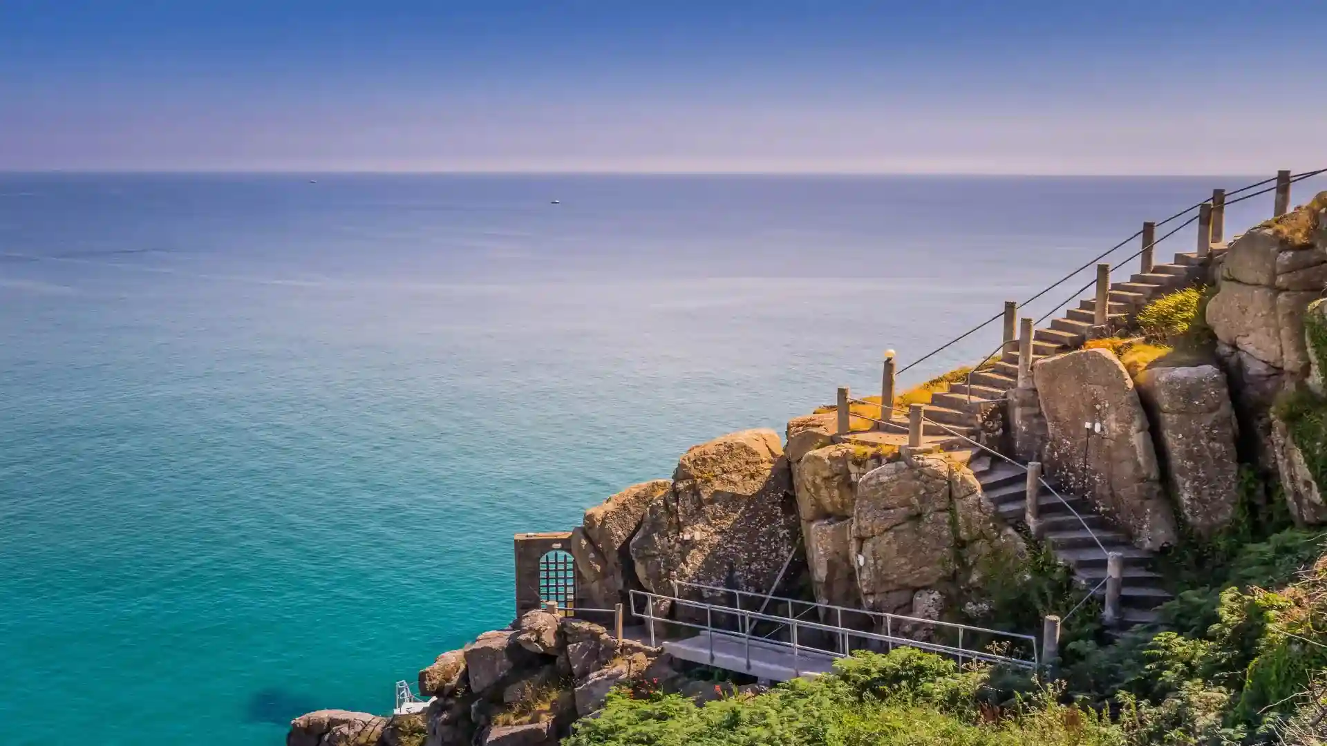
The Cornwall section of the South West Coast Path follows the coastline from Marsland Mouth near Bude to Cremyll on the River Tamar, passing through some of England's most dramatic coastal landscapes. Much of the route runs through the Cornwall National Landscape, linking exposed headlands, sandy beaches, fishing harbours, estuaries, and historic coastal communities along both the Atlantic and English Channel coasts.
As a self-guided journey, the route connects places such as Boscastle, Tintagel, Port Isaac, St Ives, Penzance, Falmouth, Mevagissey, and Looe while passing landmarks including Land's End and the Lizard Peninsula. Granite cliffs, maritime heathland, sheltered coves, and working harbours create a constantly changing landscape shaped by weather, tide, and the sea.
With well-established paths, clear waymarking, and a wide range of places to stay throughout Cornwall, the route offers one of Britain's most rewarding long-distance coastal journeys. Steep ascents and descents demand commitment, but the combination of scenery, history, and coastal culture makes this one of the most memorable sections of the South West Coast Path.
Overview
Distance 296 miles / 476 km
Duration 15–25 days
Difficulty Challenging
Start Marsland Mouth, near Bude
Finish Cremyll, Cornwall
Terrain Clifftop paths, steep ascents and descents, beaches, estuaries, harbours, and headlands
