
Pembrokeshire Coast Path
Clifftop paths, hidden coves, and a journey along Wales's western coastline.
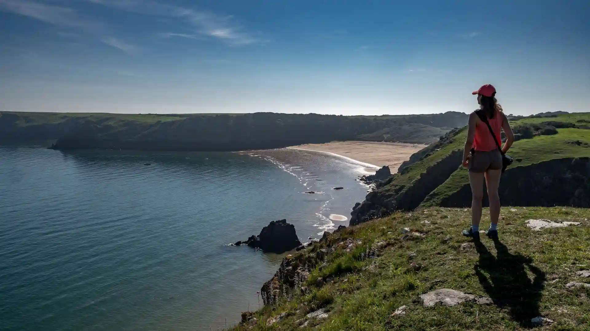
The Pembrokeshire Coast Path is a long-distance National Trail running from St Dogmaels to Amroth along the shoreline of West Wales. Following the full length of the Pembrokeshire coast, the route links cliffs, beaches, estuaries, harbours, and coastal settlements through one of Britain's most celebrated coastal landscapes.
As a self-guided journey, the route connects places such as Newport, Fishguard, St Davids, Solva, Broad Haven, Dale, Tenby, and Amroth while passing through the Pembrokeshire Coast National Park. Clifftop paths, sandy bays, rocky headlands, and sheltered coves create a route defined by continual change, where the Atlantic Ocean remains a constant presence.
The character of the route shifts gradually along its length. Northern sections feel rugged and exposed, with dramatic cliffs and remote stretches of coastline. Around St Davids and the western headlands, offshore islands and powerful Atlantic views dominate the landscape. Further south, estuaries, beaches, dunes, and historic seaside towns create a softer but equally distinctive coastal environment.
With National Trail waymarking, a wide range of places to stay, and regular access to villages and towns, the Pembrokeshire Coast Path offers one of the finest long-distance coastal walking journeys in Europe. The trail combines natural beauty, wildlife, maritime heritage, and constantly changing scenery, revealing the full diversity of the Welsh coastline through a continuous journey on foot.
Overview
Distance 186 miles / 299 km
Duration 12–17 days
Difficulty Challenging
Start St Dogmaels, Pembrokeshire
Finish Amroth, Pembrokeshire
Terrain Clifftop paths, grassy tracks, beaches, dunes, estuaries, and short inland sections
