
Isle of Wight Coastal Path
Clifftops, beaches, downs, and a journey around England's largest island.
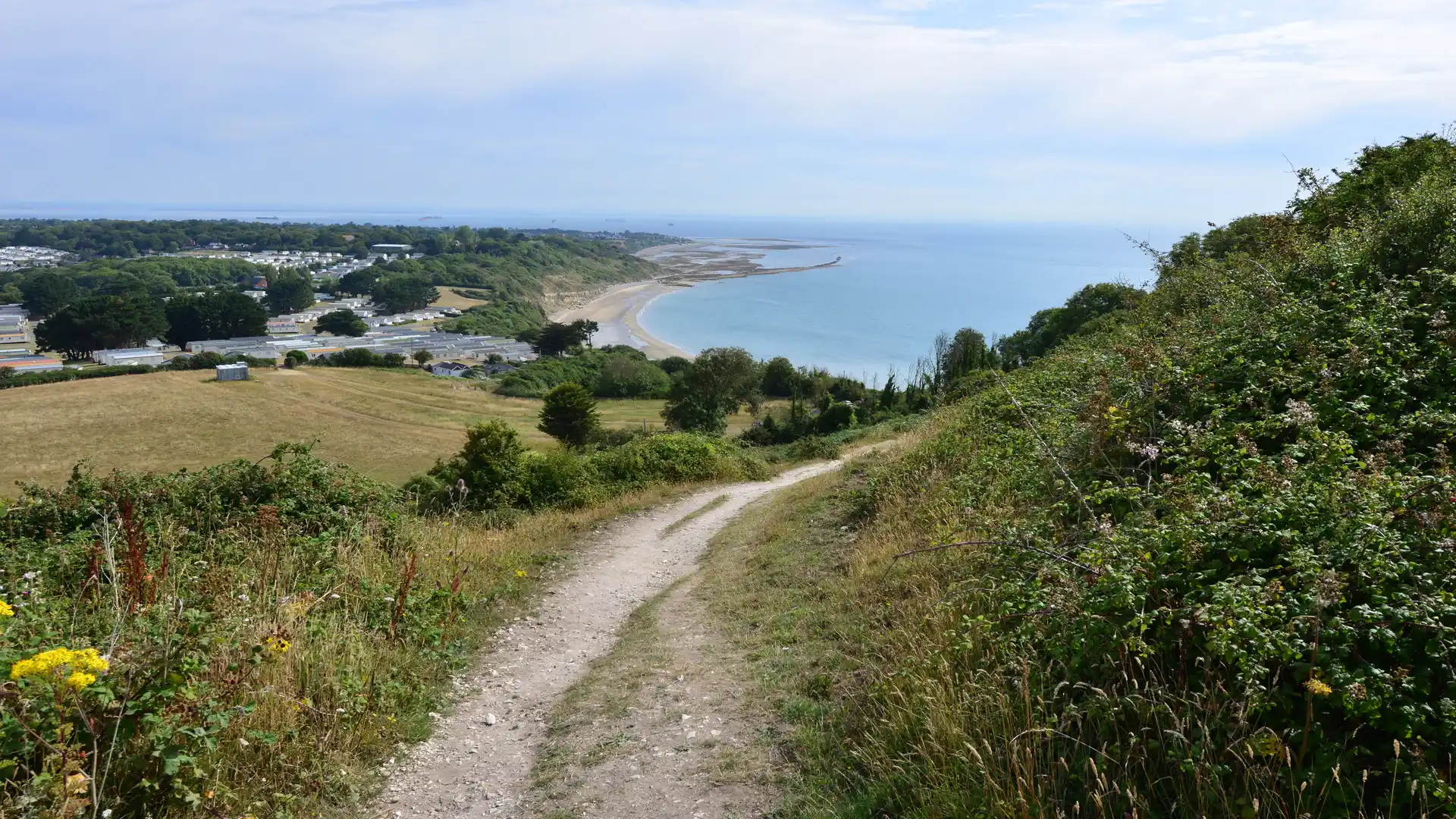
The Isle of Wight Coastal Path is a long-distance circular route following the full coastline of the Isle of Wight. Linking seaside towns, chalk cliffs, beaches, estuaries, open downs, and sheltered coastal landscapes, the trail creates a continuous journey around one of England's most distinctive islands.
As a self-guided journey, the route connects places such as Ryde, Cowes, Yarmouth, Freshwater, Ventnor, Sandown, and Shanklin while passing landmarks including The Needles, Tennyson Down, and the island's dramatic southern coastline. Chalk headlands, coastal grassland, sheltered estuaries, and seaside promenades create a route defined by variety and a constant connection to the sea.
With waymarked paths, regular transport links, and a wide range of places to stay around the island, the Isle of Wight Coastal Path offers one of England's most accessible long-distance coastal routes. Its circular nature allows walkers to complete the full circuit without complex logistics, creating a journey that combines coastal scenery, history, and island life.
Overview
Distance 70 miles / 113 km
Duration 5–7 days
Difficulty Moderate
Start Ryde, Isle of Wight
Finish Ryde, Isle of Wight
Terrain Clifftop paths, beaches, downs, grassy tracks, promenade sections, farmland paths, minor roads, towns, and villages
