
Heart of England Way
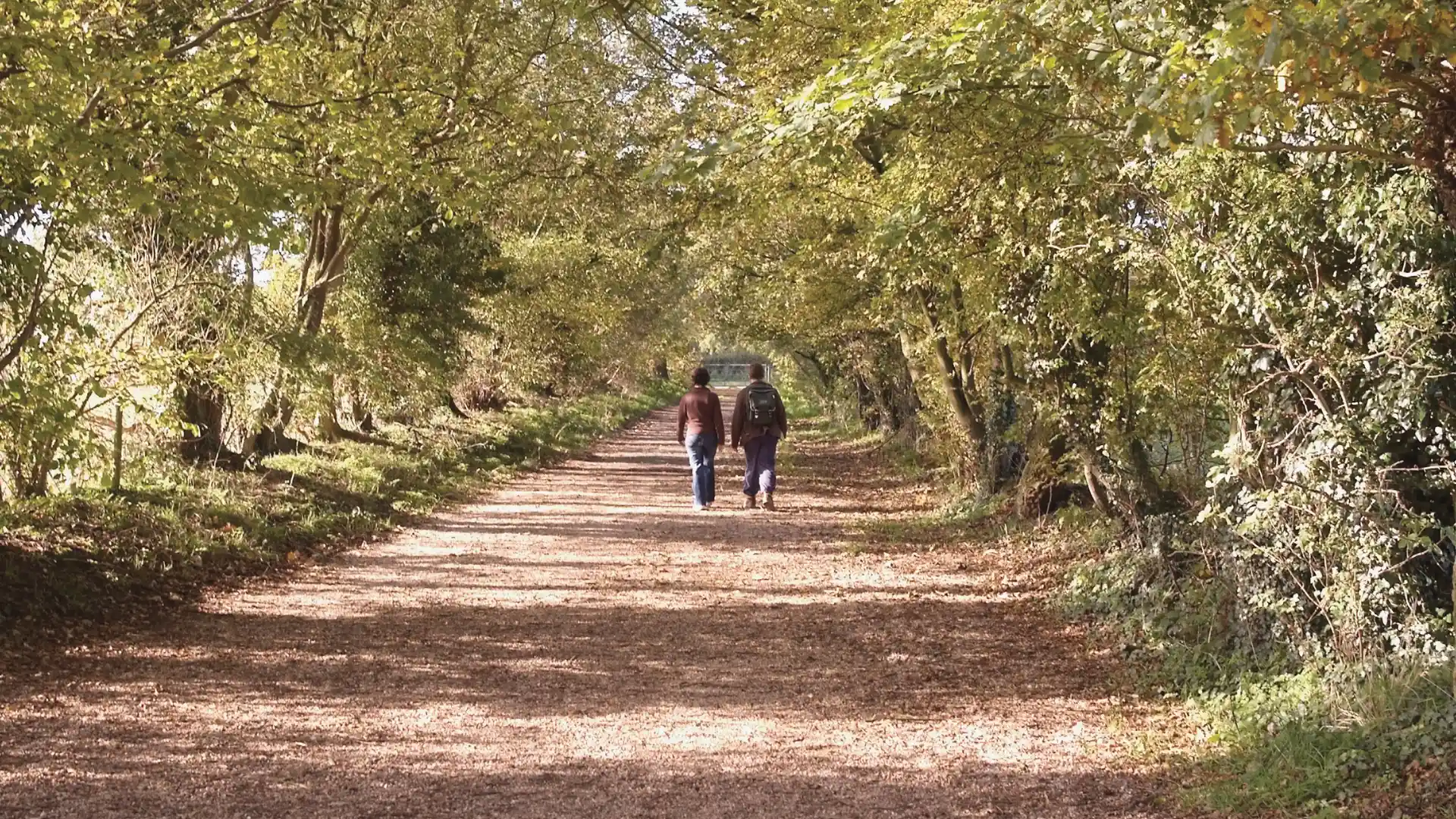
Woodland, river valleys, rolling countryside, and historic market towns connect along the Heart of England Way, a long-distance route crossing the geographic heart of England. Stretching from Cannock Chase National Landscape in Staffordshire to the Cotswolds National Landscape in Gloucestershire, the trail links varied landscapes shaped by centuries of farming, settlement, and movement through the countryside.
As a self-guided journey, the route passes through places including Lichfield, Henley-in-Arden, Alcester, Chipping Campden, and Bourton-on-the-Water while crossing woodland, farmland, canal corridors, river valleys, and quiet rural landscapes. Each section reveals a different side of central England, creating a route defined by variety rather than dramatic elevation.
With well-established paths, varied scenery, and strong connections between landscapes and historic settlements, the Heart of England Way offers a rewarding long-distance journey away from many of the country's busier trails. The route combines countryside, heritage, and slower exploration through some of England's most characterful rural landscapes.
Overview
Distance 100 miles / 161 km
Duration 6–9 days
Difficulty Moderate
Start Milford, Staffordshire
Finish Bourton-on-the-Water, Gloucestershire
Terrain Woodland paths, riverside trails, field paths, canal towpaths, farmland tracks, country lanes, and rolling countryside.
