
Glyndŵr’s Way
Rolling upland ridges, quiet valleys, and a journey through the heart of Wales.
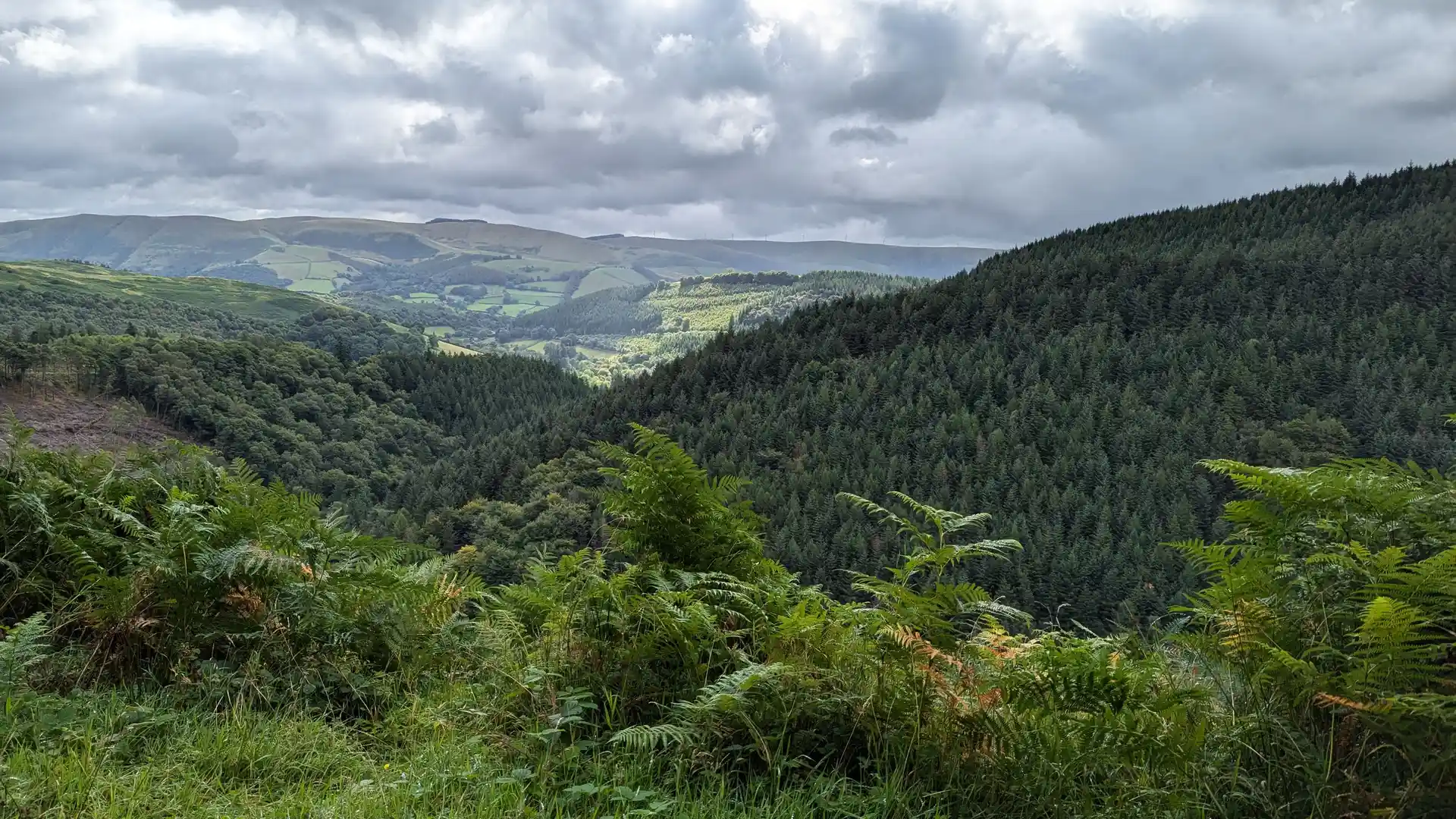
Glyndŵr's Way is a long-distance National Trail crossing the upland landscapes of Mid Wales between Knighton, Machynlleth, Llanidloes, and Welshpool. Named after Owain Glyndŵr, the Welsh leader who led a national uprising in the early fifteenth century, the route links moorland, wooded valleys, farmland, and rural settlements through one of Wales' most distinctive inland walking journeys.
As a self-guided journey, the route connects places such as Knighton, Machynlleth, Llanidloes, and Welshpool while passing through rolling hills, remote countryside, forested slopes, and open upland landscapes. Repeated climbs and descents across ridges and valleys create a route defined by rhythm, distance, and a strong sense of remoteness.
With well-established National Trail waymarking and access to small towns and villages throughout the journey, Glyndŵr's Way offers a rewarding exploration of Mid Wales beyond the country's better-known mountain regions. The trail combines landscape, heritage, and solitude, revealing the character of the Cambrian uplands through a continuous journey on foot.
Overview
Distance 135 miles / 217 km
Duration 9–12 days
Difficulty Challenging
Start Knighton, Powys
Finish Welshpool, Powys
Terrain Upland paths, moorland tracks, woodland trails, farmland paths, minor roads, small towns, and villages
