
Dingle Way
Coastal headlands, mountain passes, and a journey around the Dingle Peninsula.
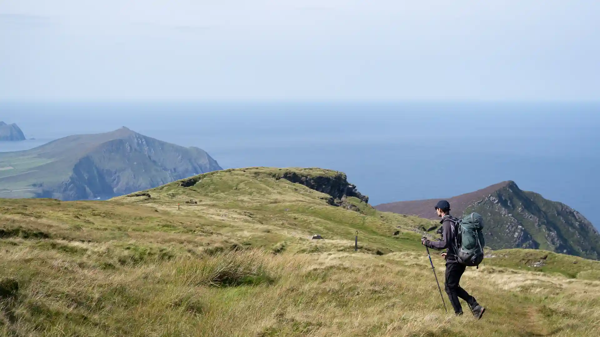
The Dingle Way is a long-distance circular route beginning and ending in Tralee, following the coastline and mountain landscapes of the Dingle Peninsula in County Kerry. One of Ireland's most celebrated walking trails, the route links beaches, mountain passes, farmland, harbours, and traditional villages through a continuous journey around the western edge of the country.
As a self-guided journey, the route connects places such as Camp, Annascaul, Dingle, Dunquin, Cloghane, Castlegregory, and Tralee while passing beneath the Slieve Mish Mountains, around Brandon Bay, and through some of Ireland's most distinctive coastal and upland scenery. Sandy beaches, mountain tracks, quiet lanes, and coastal paths create a route defined by variety, where sea, mountain, and settlement are closely connected.
The character of the route changes steadily as it circles the peninsula. Wide Atlantic beaches and sheltered farmland give way to mountain passes and elevated viewpoints, before the trail returns to harbours, fishing villages, and coastal headlands overlooking the ocean. Throughout the journey, the landscape remains strongly shaped by both the mountains of the peninsula and the surrounding sea.
With National Waymarked Trail waymarking, regular accommodation options, and villages spaced naturally along the route, the Dingle Way offers one of Ireland's finest long-distance walking experiences. The trail combines coastal scenery, mountain landscapes, Gaelic heritage, and rural life, creating a complete circuit of one of the country's most distinctive regions.
Overview
Distance 111 miles / 179 km
Duration 8–10 days
Difficulty Moderate
Start Tralee, County Kerry
Finish Tralee, County Kerry
Terrain Coastal paths, sandy beaches, mountain tracks, farmland lanes, quiet roads, villages, and harbour towns
Waymarking National Waymarked Trail symbols
